UN/LOCODE hub · Greece
GRKYT

Kythnos

37.3833°, 24.4000°
1
Transport functions

Transport Functions

Port
UN/LOCODE

Hub Profile

Place type
District seat
GeoNames
Region
South Aegean
GeoNames
Time zone
Europe/Athens
GeoNames
Elevation
159 m
GeoNames

Location

Location of GRKYT
Natural Earth 10m (public domain) · South Aegean · GRKYT · 37.38, 24.40GoogleOSMYandex

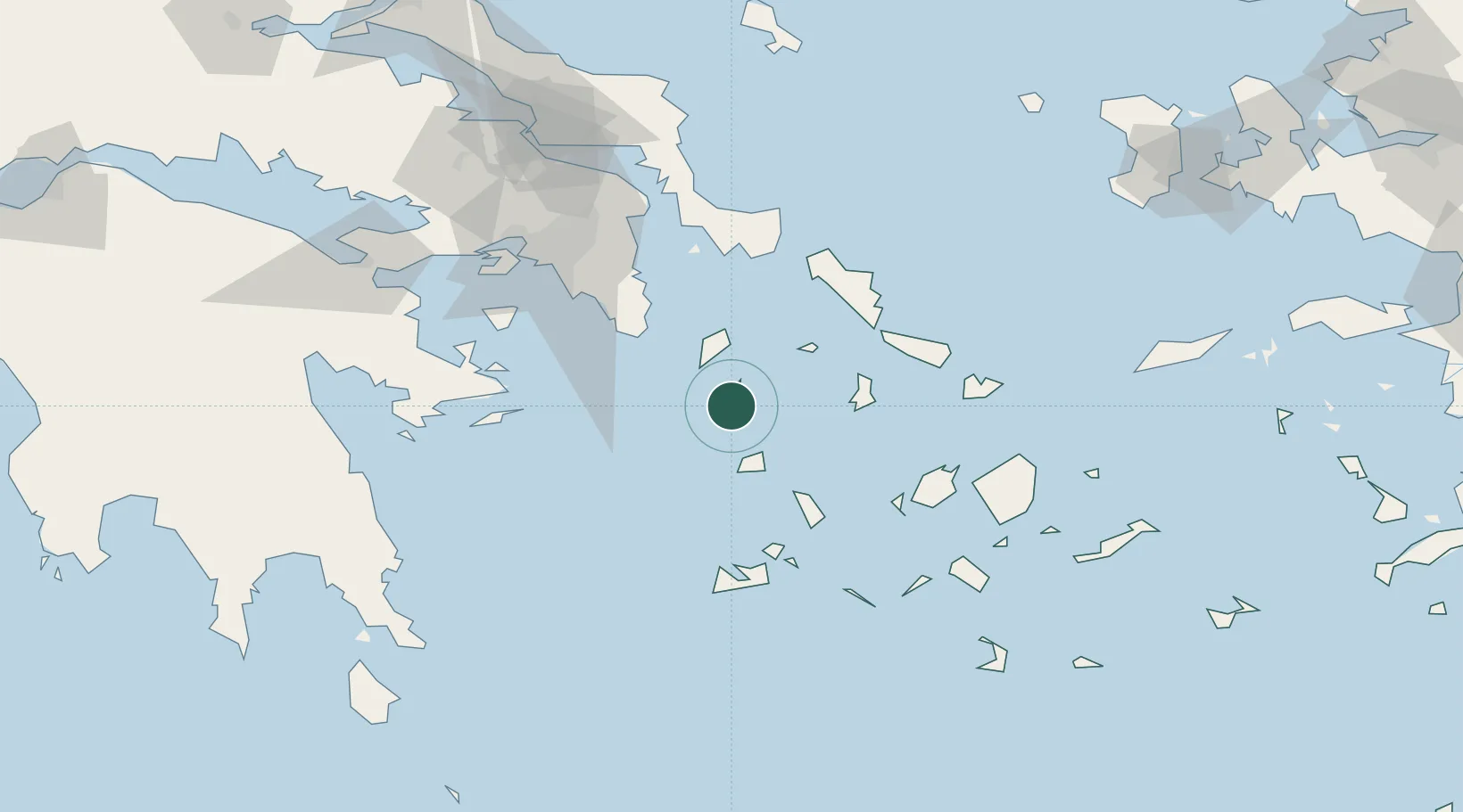
Nearby Logistics Neighbours

Cities
  1. 1Megálon Livádion26 km
  2. 2Sériphos27 km
  3. 3Kéa (Tzia)31 km
  4. 4Laurium (Lavrion)47 km
  5. 5Kamares Sifnos50 km
Nearest neighbours — logibook spatial index (haversine) over the source coordinates
Ports
  1. 1Lavrio46 km
  2. 2Limin Sirou49 km
  3. 3Gavrio63 km
  4. 4Andros70 km
  5. 5Milos74 km
Nearest neighbours — logibook spatial index (haversine) over the source coordinates
Airports
  1. 1Syros Airport49 km
  2. 2Athens Eleftherios Venizelos International Airport73 km
  3. 3Paros National Airport75 km
  4. 4Milos Airport77 km
  5. 5Mykonos Island National Airport84 km
Nearest neighbours — logibook spatial index (haversine) over the source coordinates
Trade Zones
  1. 1Free Zone of Piraeus93 km
  2. 2Free Zone of Heraklion250 km
  3. 3Izmir Free Zone261 km
  4. 4Aegean Free Zone262 km
  5. 5Izmir Ataturk Organized Industrial Zone262 km
Nearest neighbours — logibook spatial index (haversine) over the source coordinates
DatabookThe Record of Consolidated Knowledge
Greece beyond logistics?
Browse databook

All Sources

LocationsUN/LOCODE
UN/LOCODE — free
Portsthe NGA World Port Index
Public domain (US gov)
AirportsOurAirports
Public domain
Trade Zonesthe World Bank SEZ database
CC BY 4.0
Trade ZonesOpen Zone Map
CC BY
← Greece locations