UN/LOCODE hub · Greece
GRSDH

Soúda

35.5167°, 24.1333°
6,729
Population
2
Transport functions

Transport Functions

Port
Road
Soúda is also a profiled seaport →
UN/LOCODE

Hub Profile

Place type
Populated place
GeoNames
Region
Crete
GeoNames
Population
6,729
GeoNames
Time zone
Europe/Athens
GeoNames
Elevation
8 m
GeoNames

Location

Location of GRSDH
Natural Earth 10m (public domain) · Crete · GRSDH · 35.52, 24.13GoogleOSMYandex

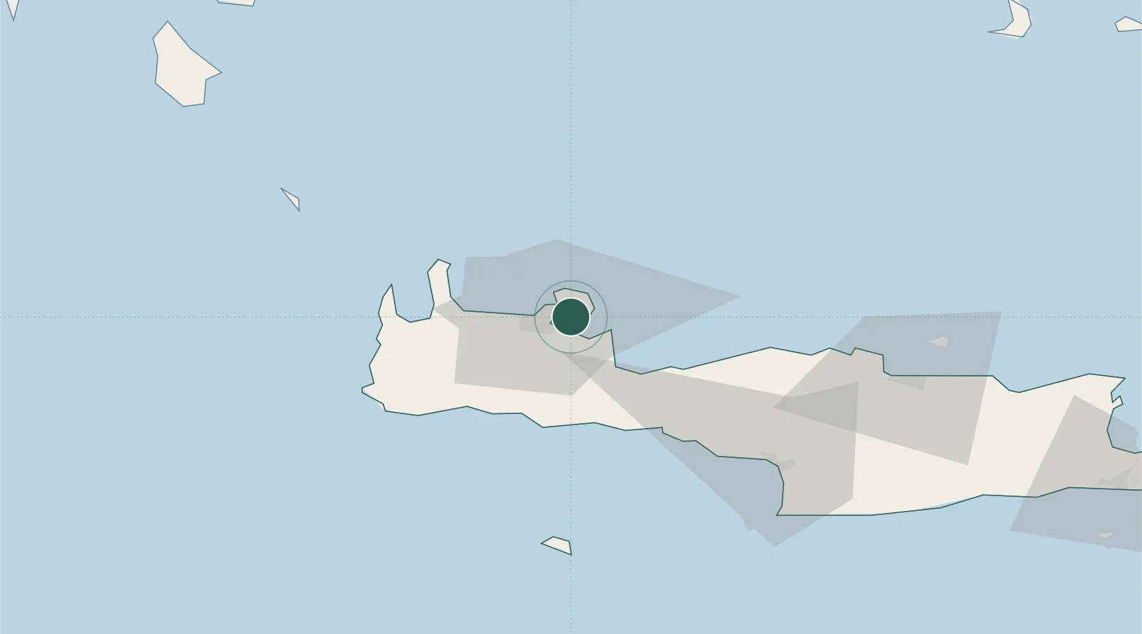
Nearby Logistics Neighbours

Cities
  1. 1Souda Bay4 km
  2. 2Kounoupidiana5 km
  3. 3Chania11 km
  4. 4Réthymnon35 km
  5. 5Agia Roumeli35 km
Nearest neighbours — logibook spatial index (haversine) over the source coordinates
Ports
  1. 1Rethimnon35 km
  2. 2Kali Limenes91 km
  3. 3Iraklion94 km
  4. 4Milos136 km
  5. 5Ayios Nikolaos148 km
Nearest neighbours — logibook spatial index (haversine) over the source coordinates
Airports
  1. 1Chania International Airport2 km
  2. 2Heraklion International Nikos Kazantzakis Airport97 km
  3. 3(Duplicate)Kasteli Hellenic Air Force Base114 km
  4. 4Kithira Airport131 km
  5. 5Milos Airport135 km
Nearest neighbours — logibook spatial index (haversine) over the source coordinates
Trade Zones
  1. 1Free Zone of Heraklion93 km
  2. 2Free Zone of Piraeus274 km
  3. 3Tobruk Free Zone387 km
  4. 4Aegean Free Zone411 km
  5. 5Izmir Ataturk Organized Industrial Zone419 km
Nearest neighbours — logibook spatial index (haversine) over the source coordinates
DatabookThe Record of Consolidated Knowledge
Greece beyond logistics?
Browse databook

All Sources

LocationsUN/LOCODE
UN/LOCODE — free
LocationsGeoNames
CC BY 4.0
Portsthe NGA World Port Index
Public domain (US gov)
AirportsOurAirports
Public domain
Trade Zonesthe World Bank SEZ database
CC BY 4.0
Trade ZonesOpen Zone Map
CC BY
← Greece locations