Transport Functions
Port
Road
Hub Profile
Place type
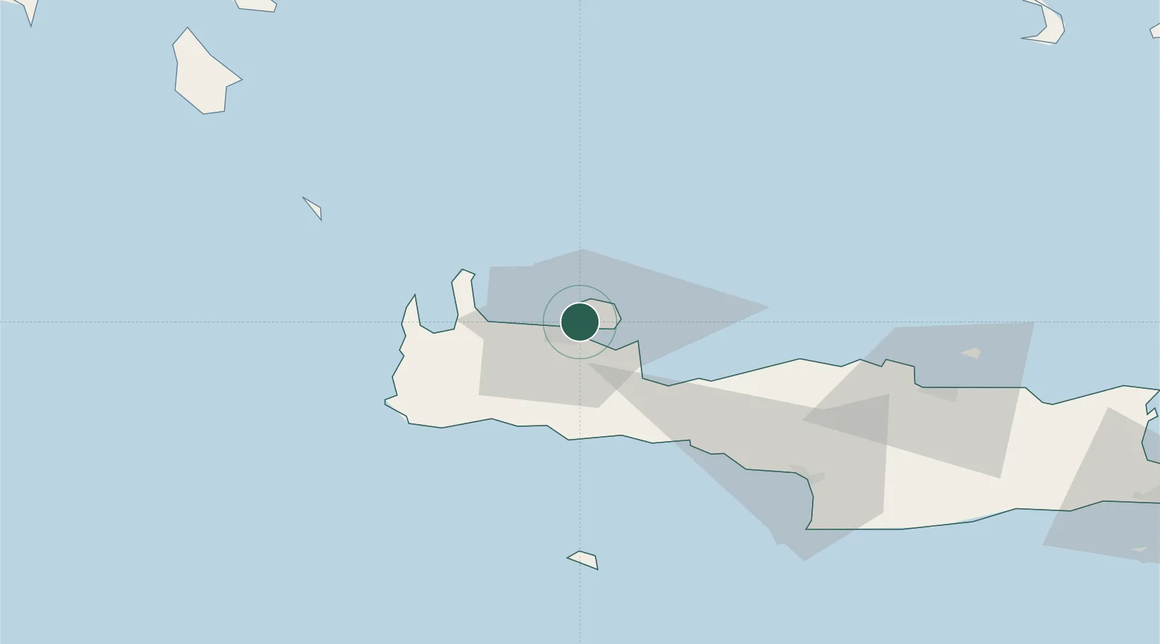
Populated place
Region
Crete
Time zone
Europe/Athens
Elevation
124 m
Location
Nearby Logistics Neighbours
Cities
- 1Soúda5 km
- 2Chania6 km
- 3Souda Bay7 km
- 4Agia Roumeli35 km
- 5Loutro Chanion37 km
Ports
- 1Soudha11 km
- 2Rethimnon39 km
- 3Kali Limenes95 km
- 4Iraklion99 km
- 5Milos136 km
Airports
Trade Zones
- 1Free Zone of Heraklion98 km
- 2Free Zone of Piraeus272 km
- 3Tobruk Free Zone389 km
- 4Aegean Free Zone413 km
- 5Izmir Ataturk Organized Industrial Zone421 km
DatabookThe Record of Consolidated Knowledge
Greece beyond logistics?