Transport Functions
Multimodal
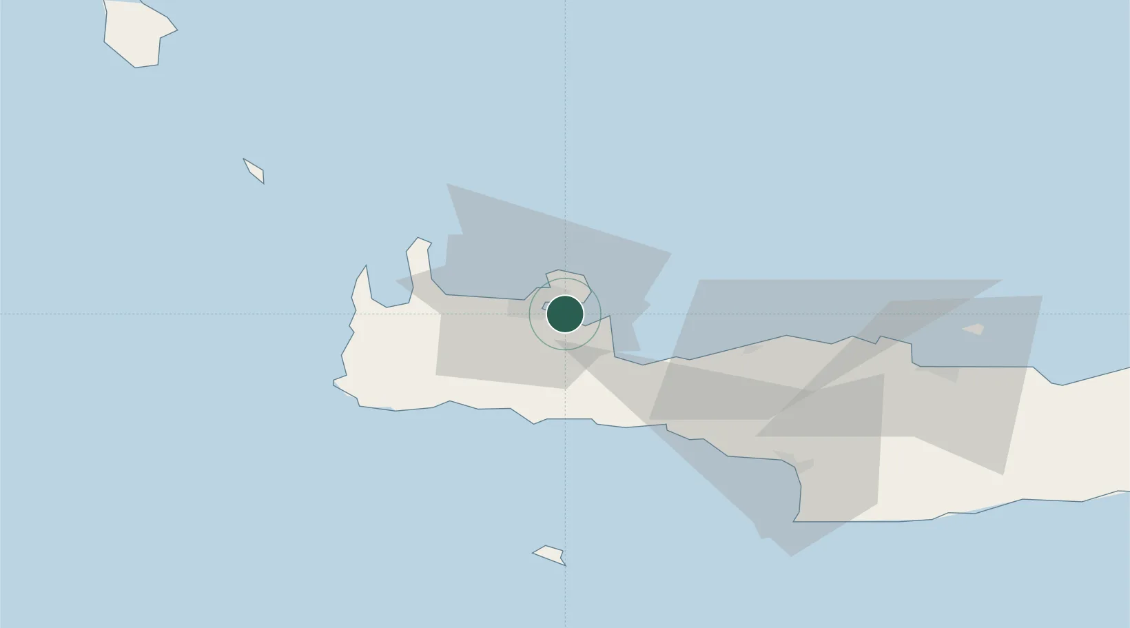
Location
Nearby Logistics Neighbours
Cities
- 1Soúda4 km
- 2Kounoupidiana7 km
- 3Chania11 km
- 4Khóra Sfakíon32 km
- 5Paleohora Sfakion32 km
Ports
- 1Soudha5 km
- 2Rethimnon33 km
- 3Kali Limenes88 km
- 4Iraklion93 km
- 5Milos140 km
Airports
Trade Zones
- 1Free Zone of Heraklion92 km
- 2Free Zone of Piraeus278 km
- 3Tobruk Free Zone383 km
- 4Aegean Free Zone414 km
- 5Izmir Ataturk Organized Industrial Zone422 km
DatabookThe Record of Consolidated Knowledge
Greece beyond logistics?