UN/LOCODE hub · Greece
GRROU

Agia Roumeli

35.2333°, 23.9667°
125
Population
1
Transport functions

Transport Functions

Port
UN/LOCODE

Hub Profile

Place type
Populated place
GeoNames
Region
Crete
GeoNames
Population
125
GeoNames
Time zone
Europe/Athens
GeoNames
Elevation
10 m
GeoNames

Location

Location of GRROU
Natural Earth 10m (public domain) · Crete · GRROU · 35.23, 23.97GoogleOSMYandex

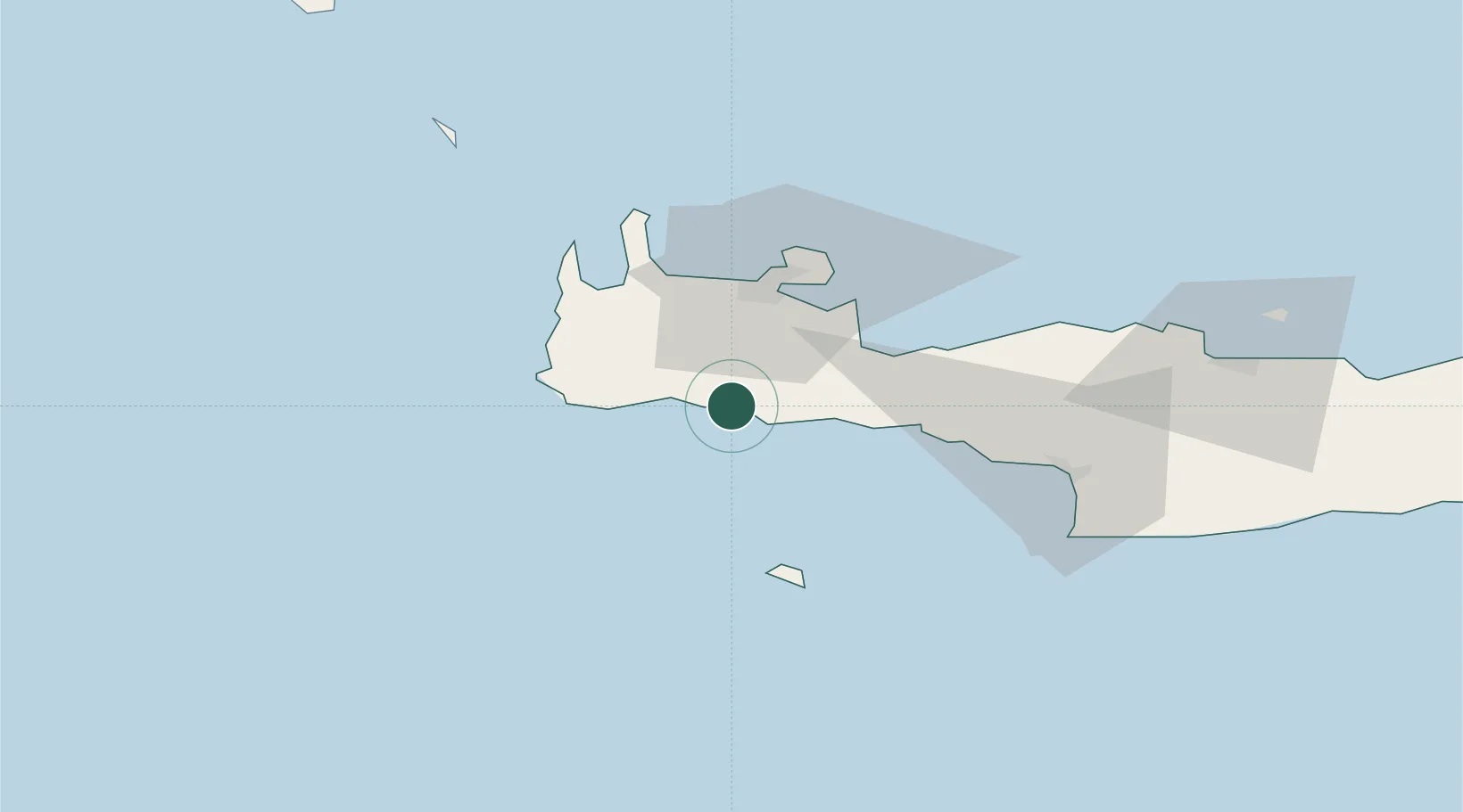
Nearby Logistics Neighbours

Cities
  1. 1Loutro Chanion11 km
  2. 2Khóra Sfakíon16 km
  3. 3Paleohora Sfakion16 km
  4. 4Sougia Chanion16 km
  5. 5Paleochora27 km
Nearest neighbours — logibook spatial index (haversine) over the source coordinates
Ports
  1. 1Soudha34 km
  2. 2Rethimnon48 km
  3. 3Kali Limenes86 km
  4. 4Iraklion108 km
  5. 5Ayios Nikolaos159 km
Nearest neighbours — logibook spatial index (haversine) over the source coordinates
Airports
  1. 1Chania International Airport37 km
  2. 2Heraklion International Nikos Kazantzakis Airport111 km
  3. 3(Duplicate)Kasteli Hellenic Air Force Base124 km
  4. 4Kithira Airport144 km
  5. 5Milos Airport169 km
Nearest neighbours — logibook spatial index (haversine) over the source coordinates
Trade Zones
  1. 1Free Zone of Heraklion102 km
  2. 2Free Zone of Piraeus303 km
  3. 3Tobruk Free Zone355 km
  4. 4Free Zone of Platigiali (Astakos Etoloakarnanias)442 km
  5. 5Aegean Free Zone445 km
Nearest neighbours — logibook spatial index (haversine) over the source coordinates
DatabookThe Record of Consolidated Knowledge
Greece beyond logistics?
Browse databook

All Sources

LocationsUN/LOCODE
UN/LOCODE — free
LocationsGeoNames
CC BY 4.0
Portsthe NGA World Port Index
Public domain (US gov)
AirportsOurAirports
Public domain
Trade Zonesthe World Bank SEZ database
CC BY 4.0
Trade ZonesOpen Zone Map
CC BY
← Greece locations