Large airport · Greece
Heraklion International Nikos Kazantzakis AirportLGIR
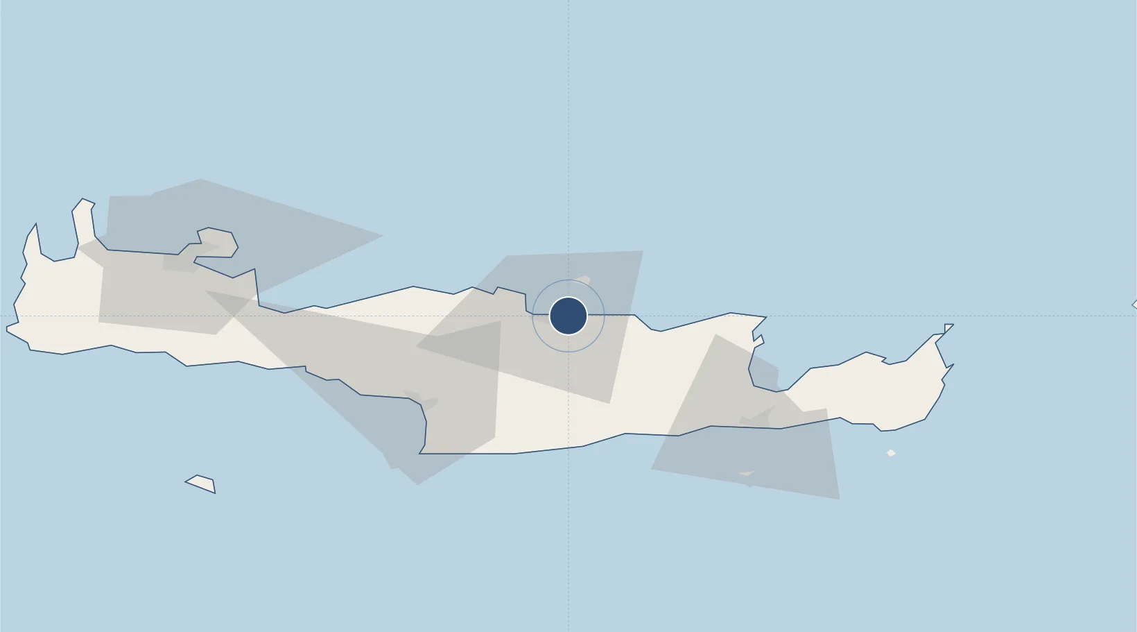
35.3397°, 25.1803°
8,904 ft
Longest runway
2
Runways
115 ft
Elevation
Runway & Layout

Radio Frequencies
ATIS
127.55 MHz
TWR
120.85 MHz
KAZANTZAKIS TWR
GND
121.7 MHz
KAZANTZAKIS GND
APP
123.975 MHz
IRAKLION APP
A/G
563.7 MHz
KAZANTZAKIS RDO
DIR
118.025 MHz
IRAKLION DIRECTOR
TRSA
123.975 MHz
IRAKLION RADAR
Navaids
HER NDB Iraklion 431 kHz
IRA VOR-DME Iraklion 108.80 MHz
RKL TACAN Iraklion 108.30 MHz
Runways · 2
| Runway | Dimensions | Surface | True heading | Lit |
|---|---|---|---|---|
| 09/27 | 8,904 × 148ft | Asphalt | 095° | ✓ |
| 12/30 | 5,138 × 164ft | Asphalt | 126° | — |
Airport Specifications
IATA code
HER
ICAO code
LGIR
Airport class
Large airport
Scheduled service
Yes
Runway surface
Asphalt
Served city
Heraklion
Location
Nearby Logistics Neighbours
Airports
- 1(Duplicate)Kasteli Hellenic Air Force Base21 km
- 2Sitia Airport85 km
- 3Chania International Airport96 km
- 4Santorini International Airport121 km
- 5Kasos Airport157 km
Cities
- 1Heraklion (Iraklion)3 km
- 2Kounavoi12 km
- 3Linoperamata Hrakliou12 km
- 4Thrapsanon20 km
- 5Malia27 km
Ports
- 1Iraklion3 km
- 2Ayios Nikolaos51 km
- 3Kali Limenes55 km
- 4Rethimnon65 km
- 5Sitia88 km
Trade Zones
- 1Free Zone of Heraklion18 km
- 2Free Zone of Piraeus322 km
- 3Aegean Free Zone376 km
- 4Tire Organized Industrial Zone382 km
- 5Tobruk Free Zone384 km
DatabookThe Record of Consolidated Knowledge
Greece beyond logistics?