Transport Functions
Port
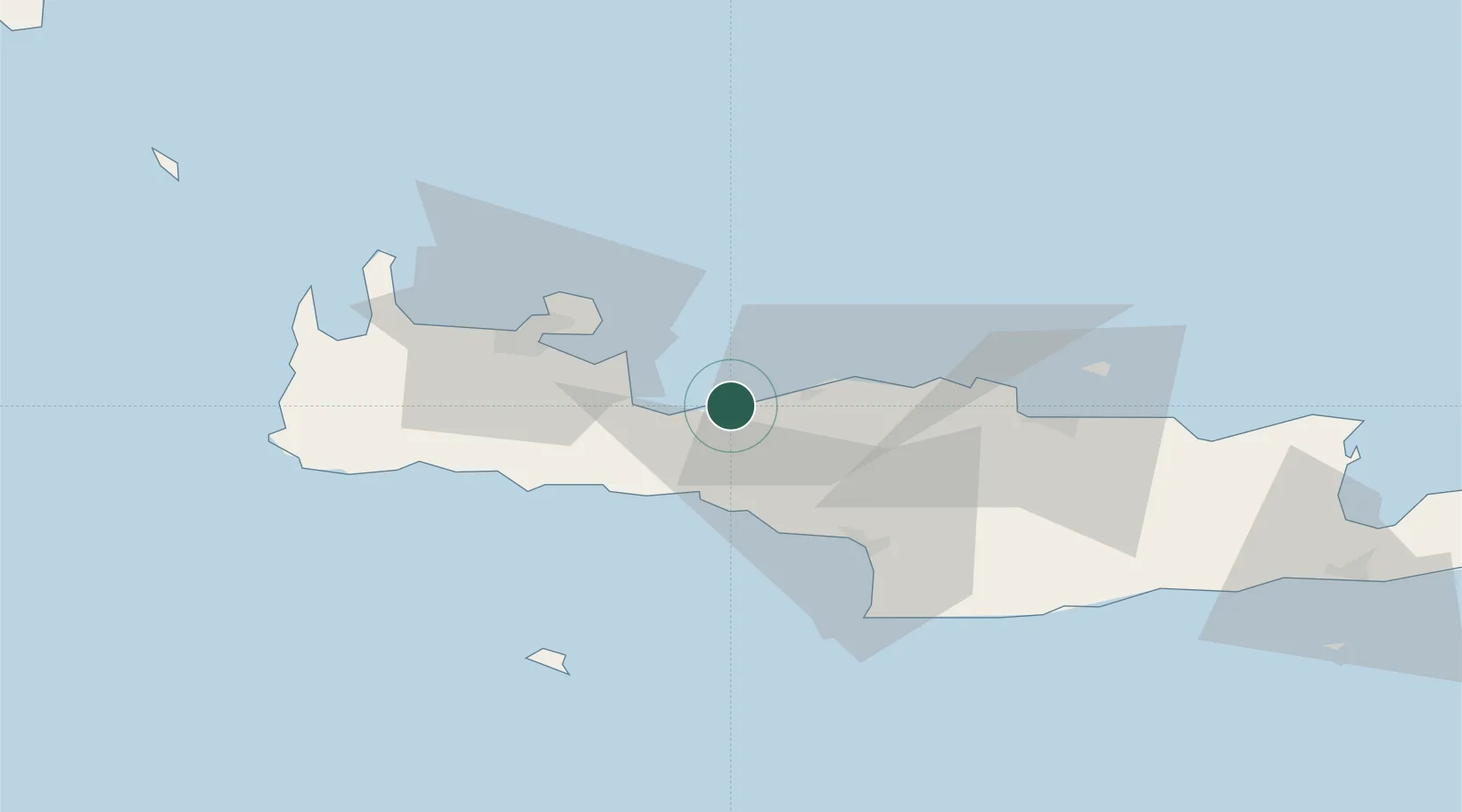
Location
Nearby Logistics Neighbours
Cities
- 1Plakias22 km
- 2Souda Bay33 km
- 3Soúda35 km
- 4Khóra Sfakíon36 km
- 5Paleohora Sfakion36 km
Ports
- 1Soudha29 km
- 2Kali Limenes59 km
- 3Iraklion62 km
- 4Ayios Nikolaos115 km
- 5Milos150 km
Airports
Trade Zones
- 1Free Zone of Heraklion59 km
- 2Free Zone of Piraeus297 km
- 3Tobruk Free Zone373 km
- 4Aegean Free Zone406 km
- 5Izmir Ataturk Organized Industrial Zone416 km
DatabookThe Record of Consolidated Knowledge
Greece beyond logistics?