UN/LOCODE hub · Greece
GRCHQ

Chania

35.5167°, 24.0167°
53,910
Population
2
Transport functions

Transport Functions

Port
Airport
UN/LOCODE

Hub Profile

Place type
Provincial seat
GeoNames
Region
Crete
GeoNames
Population
53,910
GeoNames
Time zone
Europe/Athens
GeoNames
Elevation
24 m
GeoNames

Location

Location of GRCHQ
Natural Earth 10m (public domain) · Crete · GRCHQ · 35.52, 24.02GoogleOSMYandex

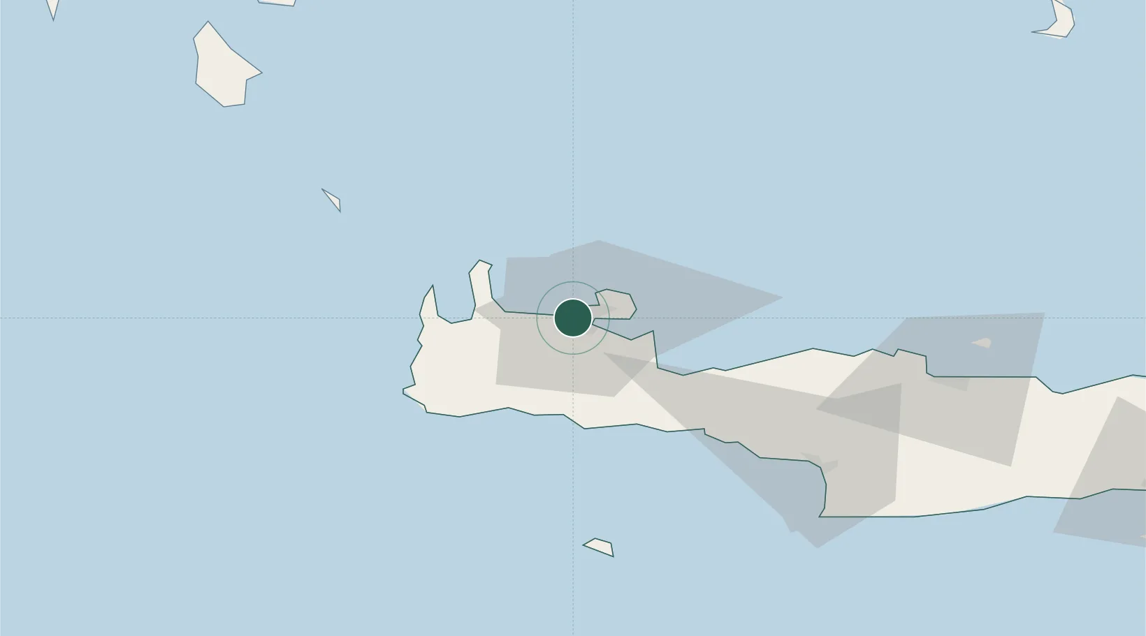
Nearby Logistics Neighbours

Cities
  1. 1Kounoupidiana6 km
  2. 2Soúda11 km
  3. 3Souda Bay11 km
  4. 4Agia Roumeli32 km
  5. 5Kastelli Kissamou35 km
Nearest neighbours — logibook spatial index (haversine) over the source coordinates
Ports
  1. 1Soudha16 km
  2. 2Rethimnon44 km
  3. 3Kali Limenes99 km
  4. 4Iraklion104 km
  5. 5Milos139 km
Nearest neighbours — logibook spatial index (haversine) over the source coordinates
Airports
  1. 1Chania International Airport12 km
  2. 2Heraklion International Nikos Kazantzakis Airport107 km
  3. 3Kithira Airport123 km
  4. 4(Duplicate)Kasteli Hellenic Air Force Base124 km
  5. 5Milos Airport138 km
Nearest neighbours — logibook spatial index (haversine) over the source coordinates
Trade Zones
  1. 1Free Zone of Heraklion103 km
  2. 2Free Zone of Piraeus273 km
  3. 3Tobruk Free Zone387 km
  4. 4Aegean Free Zone418 km
  5. 5Free Zone of Platigiali (Astakos Etoloakarnanias)419 km
Nearest neighbours — logibook spatial index (haversine) over the source coordinates
DatabookThe Record of Consolidated Knowledge
Greece beyond logistics?
Browse databook

All Sources

LocationsUN/LOCODE
UN/LOCODE — free
LocationsGeoNames
CC BY 4.0
Portsthe NGA World Port Index
Public domain (US gov)
AirportsOurAirports
Public domain
Trade Zonesthe World Bank SEZ database
CC BY 4.0
Trade ZonesOpen Zone Map
CC BY
← Greece locations