Seaport · Greece
IraklionGRHER
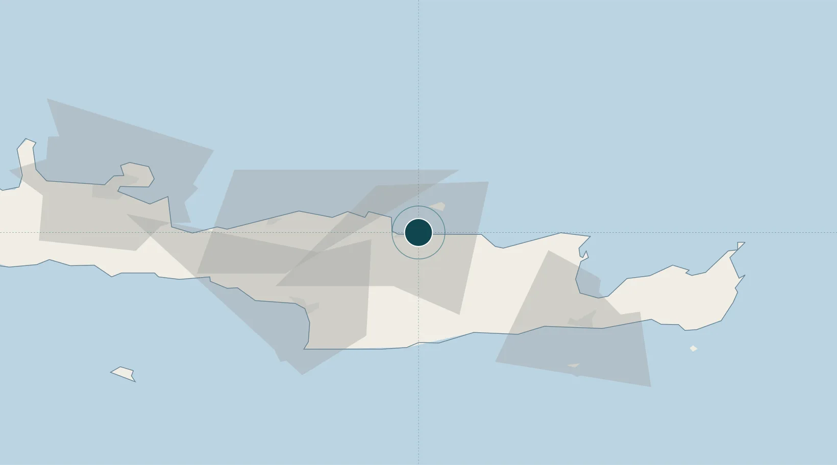
35.3500°, 25.1500°
7.9 m
Channel depth
1
Container terminals
10.9
Port liner connectivity
Channel & Berth Profile
Pilotage, Tugs & Services
Pilotage compulsoryYES
Pilotage advisableYES
Tug assistanceYES
Salvage tugsYES
Shore powerYES
Potable waterYES
Diesel bunkersYES
MedicalYES
Garbage disposalYES
Facilities & Capabilities
Container—
Ro-Ro—
Liquid bulk—
Dry bulk—
Oil terminal—
Break bulk—
Dry dock—
RepairsNO
BunkeringNO
Rail link—
Dangerous cargo—
ISPS security—
Harbour Specifications
Harbour size
Medium
Harbour type
Coastal (Breakwater)
Shelter
Good
Water body
Aegean Sea; Mediterranean Sea; North Atlantic Ocean
Tidal range
1 m
Pilotage
Yes
Liner Connectivity
10.9
PLSCI
Port Liner Shipping Connectivity Index for Iraklion, as published by UNCTAD for the latest available quarter. Higher values indicate stronger scheduled liner-shipping integration.
Shown relative to the highest per-port PLSCI in the dataset (1,657.9).
Location
Container Terminals · 1
HERAKLION PORT AUTHORITY
HPA HERAKLION PORT AUTHORITY SA
Nearby Logistics Neighbours
Ports
- 1Ayios Nikolaos54 km
- 2Kali Limenes55 km
- 3Rethimnon62 km
- 4Soudha89 km
- 5Sitia91 km
Cities
- 1Linoperamata Hrakliou9 km
- 2Kounavoi13 km
- 3Thrapsanon22 km
- 4Malia30 km
- 5Agia Galini52 km
Airports
Trade Zones
- 1Free Zone of Heraklion17 km
- 2Free Zone of Piraeus320 km
- 3Aegean Free Zone376 km
- 4Tire Organized Industrial Zone383 km
- 5Tobruk Free Zone384 km
DatabookThe Record of Consolidated Knowledge
Greece beyond logistics?