Transport Functions
Port
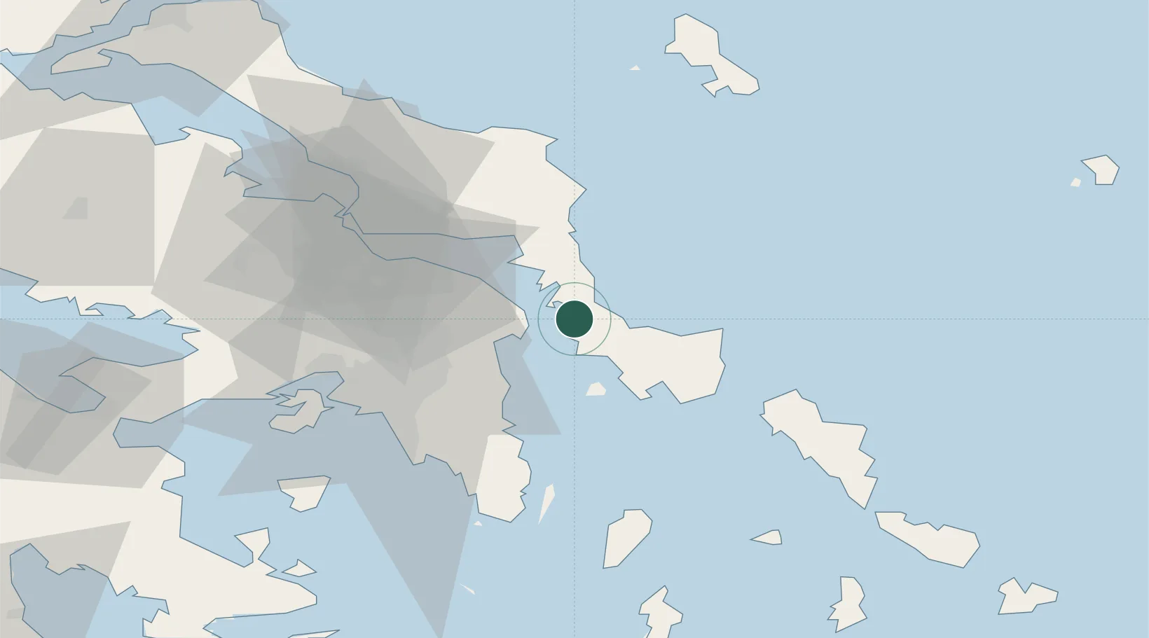
Hub Profile
Place type
Populated place
Region
Central Greece
Population
1,031
Time zone
Europe/Athens
Elevation
7 m
Location
Nearby Logistics Neighbours
Cities
- 1Agia Marina Grammatikou Attikis12 km
- 2Marmari18 km
- 3Petries Evvoias24 km
- 4Mylaki25 km
- 5Karystos27 km
Ports
- 1Ormos Aliveriou26 km
- 2Lavrio55 km
- 3Piraievs56 km
- 4Gavrio57 km
- 5Megara Oil Terminal74 km
Airports
- 1Athens Eleftherios Venizelos International Airport35 km
- 2Elefsis Air Base58 km
- 3Tanagra Air Base58 km
- 4Skiros Airport91 km
- 5Syros Airport107 km
Trade Zones
DatabookThe Record of Consolidated Knowledge
Greece beyond logistics?