UN/LOCODE hub · Greece
GRPOA

Potamos Antikithera

35.8833°, 23.2833°
1
Transport functions

Transport Functions

Port
UN/LOCODE

Hub Profile

Region
A1
GeoNames

Location

Location of GRPOA
Natural Earth 10m (public domain) · A1 · GRPOA · 35.88, 23.28GoogleOSMYandex

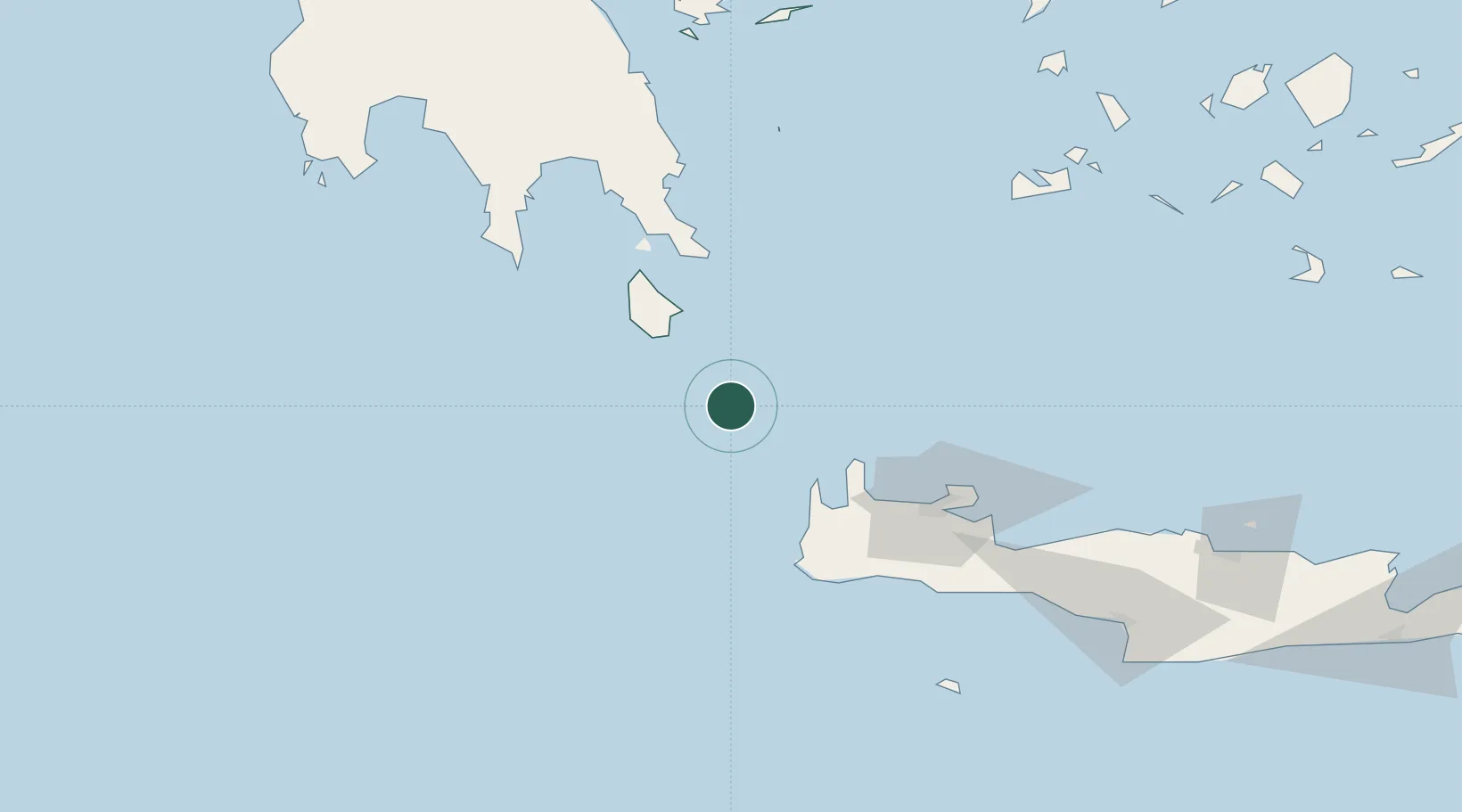
Nearby Logistics Neighbours

Cities
  1. 1Kapsalion (Kythira)39 km
  2. 2Diakofti Kythiron46 km
  3. 3Rízes49 km
  4. 4Kastelli Kissamou52 km
  5. 5Agía Pelagía57 km
Nearest neighbours — logibook spatial index (haversine) over the source coordinates
Ports
  1. 1Soudha93 km
  2. 2Yithion116 km
  3. 3Rethimnon121 km
  4. 4Milos140 km
  5. 5Kalamata164 km
Nearest neighbours — logibook spatial index (haversine) over the source coordinates
Airports
  1. 1Kithira Airport50 km
  2. 2Chania International Airport88 km
  3. 3Milos Airport140 km
  4. 4Kalamata Airport173 km
  5. 5Heraklion International Nikos Kazantzakis Airport182 km
Nearest neighbours — logibook spatial index (haversine) over the source coordinates
Trade Zones
  1. 1Free Zone of Heraklion180 km
  2. 2Free Zone of Piraeus231 km
  3. 3Free Zone of Platigiali (Astakos Etoloakarnanias)347 km
  4. 4Tobruk Free Zone432 km
  5. 5Aegean Free Zone436 km
Nearest neighbours — logibook spatial index (haversine) over the source coordinates
DatabookThe Record of Consolidated Knowledge
Greece beyond logistics?
Browse databook

All Sources

LocationsUN/LOCODE
UN/LOCODE — free
Portsthe NGA World Port Index
Public domain (US gov)
AirportsOurAirports
Public domain
Trade Zonesthe World Bank SEZ database
CC BY 4.0
Trade ZonesOpen Zone Map
CC BY
← Greece locations