Transport Functions
Port
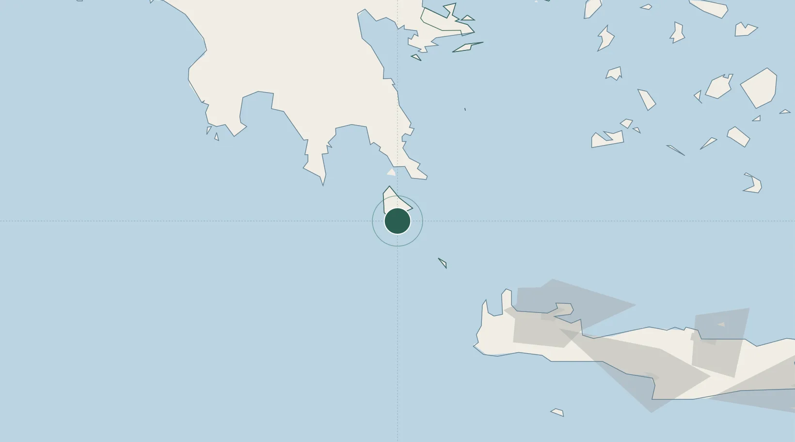
Location
Nearby Logistics Neighbours
Cities
- 1Rízes10 km
- 2Diakofti Kythiron15 km
- 3Agía Pelagía20 km
- 4Vatika Bay39 km
- 5Potamos Antikithera39 km
Airports
- 1Kithira Airport14 km
- 2Chania International Airport125 km
- 3Kalamata Airport134 km
- 4Milos Airport146 km
- 5Paros National Airport212 km
Trade Zones
DatabookThe Record of Consolidated Knowledge
Greece beyond logistics?