Transport Functions
Port
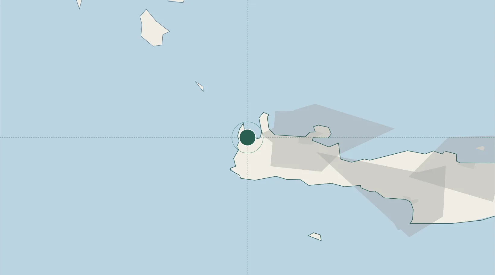
Location
Nearby Logistics Neighbours
Cities
- 1Paleochora34 km
- 2Chania35 km
- 3Sougia Chanion38 km
- 4Kounoupidiana41 km
- 5Agia Roumeli44 km
Ports
- 1Soudha50 km
- 2Rethimnon77 km
- 3Kali Limenes127 km
- 4Iraklion139 km
- 5Milos152 km
Airports
Trade Zones
- 1Free Zone of Heraklion136 km
- 2Free Zone of Piraeus270 km
- 3Tobruk Free Zone388 km
- 4Free Zone of Platigiali (Astakos Etoloakarnanias)399 km
- 5Aegean Free Zone441 km
DatabookThe Record of Consolidated Knowledge
Greece beyond logistics?