Transport Functions
Port
Hub Profile
Region
94
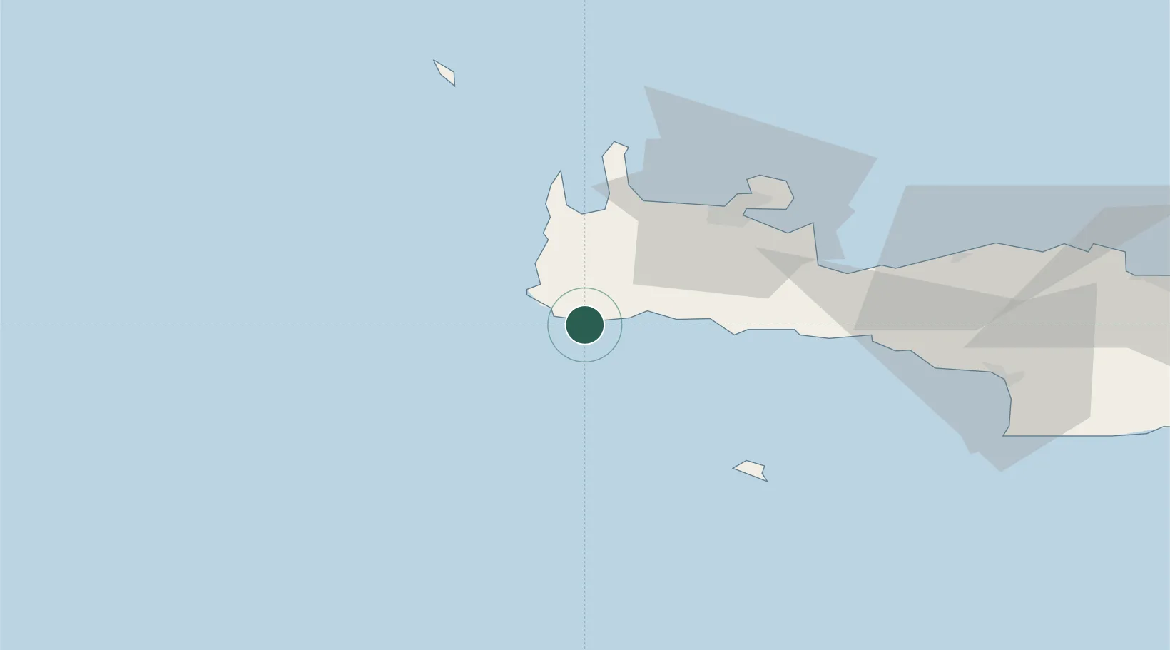
Location
Nearby Logistics Neighbours
Cities
- 1Sougia Chanion12 km
- 2Agia Roumeli27 km
- 3Kastelli Kissamou34 km
- 4Loutro Chanion38 km
- 5Khóra Sfakíon42 km
Ports
- 1Soudha56 km
- 2Rethimnon75 km
- 3Kali Limenes111 km
- 4Iraklion136 km
- 5Milos181 km
Airports
Trade Zones
- 1Free Zone of Heraklion129 km
- 2Free Zone of Piraeus304 km
- 3Tobruk Free Zone354 km
- 4Free Zone of Platigiali (Astakos Etoloakarnanias)429 km
- 5Aegean Free Zone464 km
DatabookThe Record of Consolidated Knowledge
Greece beyond logistics?