Transport Functions
Port
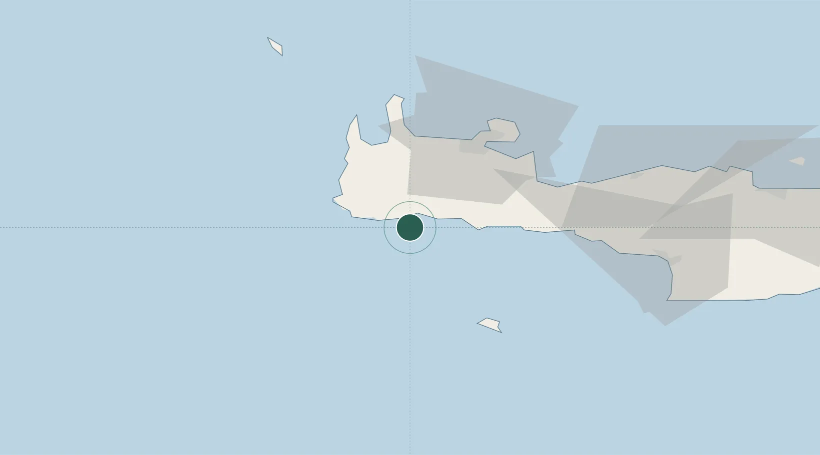
Location
Nearby Logistics Neighbours
Cities
- 1Paleochora12 km
- 2Agia Roumeli16 km
- 3Loutro Chanion26 km
- 4Khóra Sfakíon30 km
- 5Paleohora Sfakion30 km
Ports
- 1Soudha47 km
- 2Rethimnon63 km
- 3Kali Limenes99 km
- 4Iraklion124 km
- 5Ayios Nikolaos174 km
Airports
Trade Zones
- 1Free Zone of Heraklion117 km
- 2Free Zone of Piraeus306 km
- 3Tobruk Free Zone352 km
- 4Free Zone of Platigiali (Astakos Etoloakarnanias)437 km
- 5Aegean Free Zone458 km
DatabookThe Record of Consolidated Knowledge
Greece beyond logistics?