Transport Functions
Port
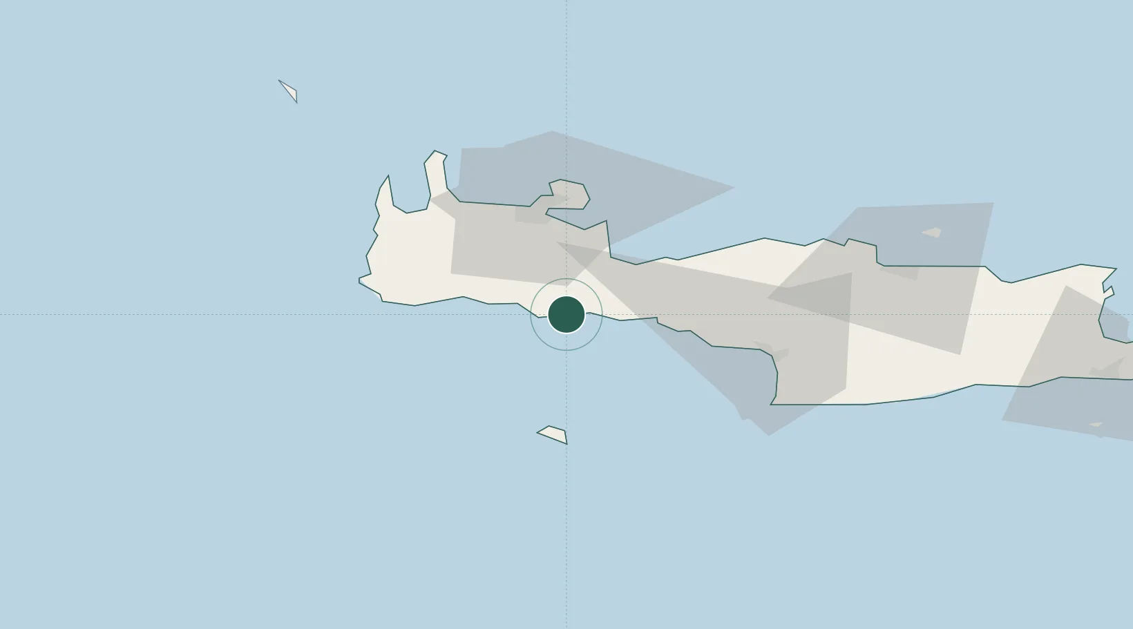
Location
Nearby Logistics Neighbours
Cities
- 1Paleohora Sfakion0 km
- 2Loutro Chanion5 km
- 3Agia Roumeli16 km
- 4Plakias23 km
- 5Sougia Chanion30 km
Ports
- 1Soudha32 km
- 2Rethimnon36 km
- 3Kali Limenes70 km
- 4Iraklion94 km
- 5Ayios Nikolaos144 km
Airports
Trade Zones
- 1Free Zone of Heraklion86 km
- 2Free Zone of Piraeus309 km
- 3Tobruk Free Zone352 km
- 4Aegean Free Zone439 km
- 5Izmir Ataturk Organized Industrial Zone448 km
DatabookThe Record of Consolidated Knowledge
Greece beyond logistics?