UN/LOCODE hub · Greece
GRMRM

Marmari

38.0500°, 24.3167°
11
Population
1
Transport functions

Transport Functions

Port
UN/LOCODE

Hub Profile

Place type
Populated place
GeoNames
Region
Peloponnese
GeoNames
Population
11
GeoNames
Time zone
Europe/Athens
GeoNames
Elevation
40 m
GeoNames

Location

Location of GRMRM
Natural Earth 10m (public domain) · Peloponnese · GRMRM · 38.05, 24.32GoogleOSMYandex

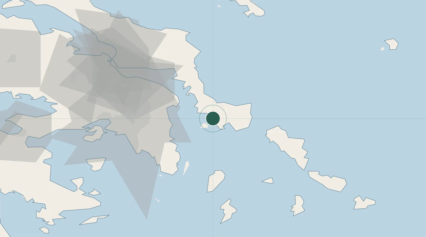
Nearby Logistics Neighbours

Cities
  1. 1Karystos10 km
  2. 2Néa Stíra18 km
  3. 3Agia Marina Grammatikou Attikis26 km
  4. 4Artemis29 km
  5. 5Pikérmion33 km
Nearest neighbours — logibook spatial index (haversine) over the source coordinates
Ports
  1. 1Gavrio41 km
  2. 2Ormos Aliveriou44 km
  3. 3Lavrio45 km
  4. 4Piraievs60 km
  5. 5Andros61 km
Nearest neighbours — logibook spatial index (haversine) over the source coordinates
Airports
  1. 1Athens Eleftherios Venizelos International Airport35 km
  2. 2Elefsis Air Base67 km
  3. 3Tanagra Air Base73 km
  4. 4Syros Airport89 km
  5. 5Skiros Airport103 km
Nearest neighbours — logibook spatial index (haversine) over the source coordinates
Trade Zones
  1. 1Free Zone of Piraeus63 km
  2. 2Izmir Free Zone237 km
  3. 3Izmir Ataturk Organized Industrial Zone242 km
  4. 4Aegean Free Zone247 km
  5. 5Aliaga Kimya Ihtisas ve Karma Organized Industrial Zone253 km
Nearest neighbours — logibook spatial index (haversine) over the source coordinates
DatabookThe Record of Consolidated Knowledge
Greece beyond logistics?
Browse databook

All Sources

LocationsUN/LOCODE
UN/LOCODE — free
LocationsGeoNames
CC BY 4.0
Portsthe NGA World Port Index
Public domain (US gov)
AirportsOurAirports
Public domain
Trade Zonesthe World Bank SEZ database
CC BY 4.0
Trade ZonesOpen Zone Map
CC BY
← Greece locations