Transport Functions
Port
Hub Profile
Place type
District seat
Region
Central Greece
Population
5,091
Time zone
Europe/Athens
Elevation
7 m
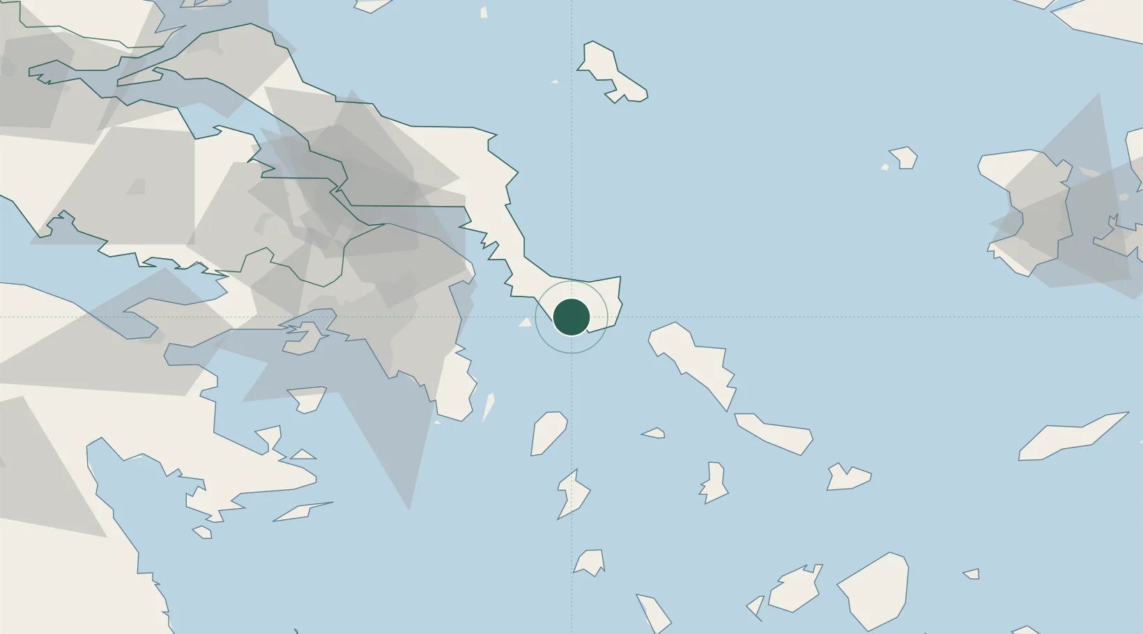
Location
Nearby Logistics Neighbours
Cities
- 1Marmari10 km
- 2Néa Stíra27 km
- 3Gávrion32 km
- 4Agia Marina Grammatikou Attikis36 km
- 5Artemis37 km
Ports
- 1Gavrio32 km
- 2Lavrio47 km
- 3Andros51 km
- 4Ormos Aliveriou52 km
- 5Piraievs68 km
Airports
Trade Zones
DatabookThe Record of Consolidated Knowledge
Greece beyond logistics?