Transport Functions
Port
Hub Profile
Region
69
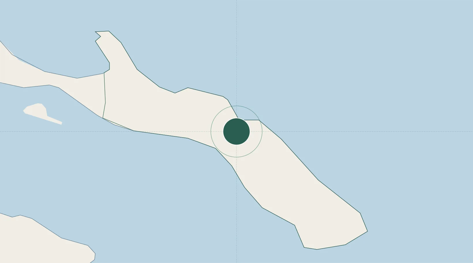
Location
Nearby Logistics Neighbours
Cities
- 1Dáfni9 km
- 2Ouranópolis19 km
- 3Ammoulianí24 km
- 4Amolianí24 km
- 5Trypiti Chalkidikis25 km
Ports
- 1Stratoni39 km
- 2Yerakini62 km
- 3Kavala72 km
- 4Lagos111 km
- 5Thessaloniki113 km
Airports
Trade Zones
- 1Free Zone of Thessaloniki114 km
- 2TIDZ Strumica175 km
- 3TIDZ Gevgelija175 km
- 4TIDZ Berovo194 km
- 5Kuklen Industrial and Commercial Zone200 km
DatabookThe Record of Consolidated Knowledge
Greece beyond logistics?