Transport Functions
Port
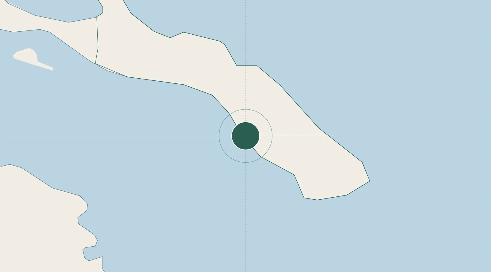
Hub Profile
Place type
Populated place
Region
Mount Athos
Time zone
Europe/Athens
Elevation
4 m
Location
Nearby Logistics Neighbours
Cities
- 1Moní Vatopedíou9 km
- 2Ouranópolis23 km
- 3Ammoulianí28 km
- 4Amolianí29 km
- 5Trypiti Chalkidikis30 km
Ports
- 1Stratoni47 km
- 2Yerakini64 km
- 3Kavala81 km
- 4Lagos117 km
- 5Thessaloniki118 km
Airports
Trade Zones
- 1Free Zone of Thessaloniki119 km
- 2TIDZ Gevgelija182 km
- 3TIDZ Strumica182 km
- 4TIDZ Berovo202 km
- 5Kuklen Industrial and Commercial Zone208 km
DatabookThe Record of Consolidated Knowledge
Greece beyond logistics?