Transport Functions
Multimodal
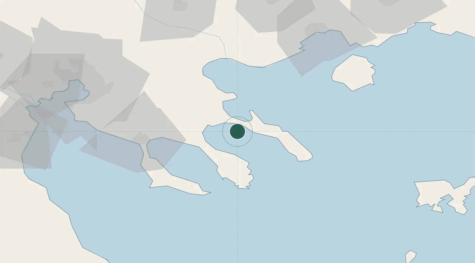
Hub Profile
Place type
Populated place
Region
Central Macedonia
Population
529
Time zone
Europe/Athens
Elevation
18 m
Location
Nearby Logistics Neighbours
Cities
- 1Amolianí2 km
- 2Trypiti Chalkidikis6 km
- 3Ouranópolis6 km
- 4Ierissos8 km
- 5Moní Vatopedíou24 km
Ports
- 1Stratoni23 km
- 2Yerakini39 km
- 3Kavala80 km
- 4Thessaloniki90 km
- 5Lagos128 km
Airports
Trade Zones
- 1Free Zone of Thessaloniki91 km
- 2TIDZ Gevgelija155 km
- 3TIDZ Strumica157 km
- 4TIDZ Berovo179 km
- 5TIDZ Radoviš191 km
DatabookThe Record of Consolidated Knowledge
Greece beyond logistics?