Diversified Zone · North Macedonia
TIDZ Berovo Under Development
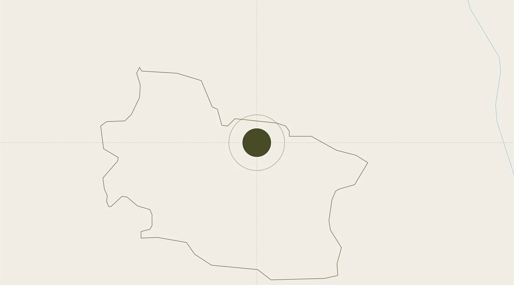
41.7043°, 22.8337°
17 ha
Zone area
119.4 km
Nearest port
104.2 km
Nearest airport
Gateway access
Zone profile
Zone type
Diversified Zone
Region
Berovo
Status
Under Development
Management
Public
Operator
Berovo Municipality
Legal framework
Law On Technical-Industrial Development Zones 14/2007
Location
Nearby Logistics Neighbours
Ports
- 1Thessaloniki119 km
- 2Stratoni156 km
- 3Kavala156 km
- 4Yerakini169 km
- 5Lagos207 km
Airports
- 1Skopje International Airport104 km
- 2Sofia Airport120 km
- 3Thessaloniki Macedonia International Airport132 km
- 4Graf Ignatievo Air Base169 km
- 5Plovdiv International Airport172 km
Cities
- 1Radovis28 km
- 2Novi Dojran55 km
- 3Razlog56 km
- 4Bansko57 km
- 5Demir Kapija60 km
Trade Zones
- 1TIDZ Delčevo31 km
- 2TIDZ Radoviš33 km
- 3TIDZ Vinica36 km
- 4TIDZ Strumica37 km
- 5TIDZ ō tip57 km
DatabookThe Record of Consolidated Knowledge
North Macedonia beyond logistics?