Transport Functions
Port
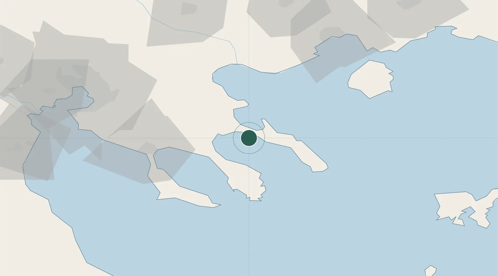
Location
Nearby Logistics Neighbours
Cities
- 1Ammoulianí2 km
- 2Trypiti Chalkidikis4 km
- 3Ouranópolis6 km
- 4Ierissos6 km
- 5Moní Vatopedíou24 km
Ports
- 1Stratoni22 km
- 2Yerakini39 km
- 3Kavala78 km
- 4Thessaloniki90 km
- 5Lagos127 km
Airports
Trade Zones
- 1Free Zone of Thessaloniki91 km
- 2TIDZ Gevgelija154 km
- 3TIDZ Strumica156 km
- 4TIDZ Berovo178 km
- 5TIDZ Radoviš189 km
DatabookThe Record of Consolidated Knowledge
Greece beyond logistics?