UN/LOCODE hub · Greece
GRLSA

Néa Liósia

38.0333°, 23.7000°
2
Transport functions

Transport Functions

Rail
Road
UN/LOCODE

Hub Profile

Region
A1
GeoNames

Location

Location of GRLSA
Natural Earth 10m (public domain) · A1 · GRLSA · 38.03, 23.70GoogleOSMYandex

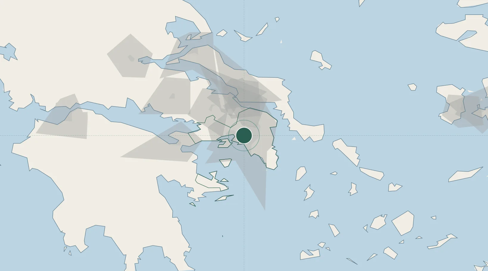
Nearby Logistics Neighbours

Cities
  1. 1Anargyroi2 km
  2. 2Akharnai4 km
  3. 3Asprópirgos6 km
  4. 4Ano Liosia6 km
  5. 5Aigaleo6 km
Nearest neighbours — logibook spatial index (haversine) over the source coordinates
Ports
  1. 1Piraievs12 km
  2. 2Megara Oil Terminal27 km
  3. 3Lavrio49 km
  4. 4Ormos Aliveriou50 km
  5. 5Kymassi91 km
Nearest neighbours — logibook spatial index (haversine) over the source coordinates
Airports
  1. 1Elefsis Air Base13 km
  2. 2Athens Eleftherios Venizelos International Airport24 km
  3. 3Tanagra Air Base36 km
  4. 4Skiros Airport124 km
  5. 5Skiathos Island National Airport128 km
Nearest neighbours — logibook spatial index (haversine) over the source coordinates
Trade Zones
  1. 1Free Zone of Piraeus12 km
  2. 2Free Zone of Platigiali (Astakos Etoloakarnanias)232 km
  3. 3Free Zone of Thessaloniki297 km
  4. 4TIDZ Gevgelija367 km
  5. 5Përmet Freezone379 km
Nearest neighbours — logibook spatial index (haversine) over the source coordinates
DatabookThe Record of Consolidated Knowledge
Greece beyond logistics?
Browse databook

All Sources

LocationsUN/LOCODE
UN/LOCODE — free
Portsthe NGA World Port Index
Public domain (US gov)
AirportsOurAirports
Public domain
Trade Zonesthe World Bank SEZ database
CC BY 4.0
Trade ZonesOpen Zone Map
CC BY
← Greece locations