UN/LOCODE hub · Greece
GRJHB

Akharnai

38.0667°, 23.7000°
1
Transport functions

Transport Functions

Multimodal
UN/LOCODE

Hub Profile

Region
A1
GeoNames

Location

Location of GRJHB
Natural Earth 10m (public domain) · A1 · GRJHB · 38.07, 23.70GoogleOSMYandex

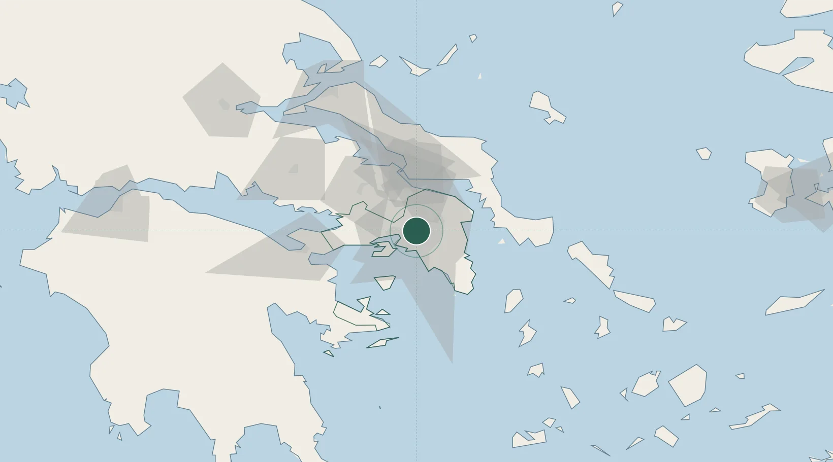
Nearby Logistics Neighbours

Cities
  1. 1Ano Liosia2 km
  2. 2Acharnes4 km
  3. 3Akharnaí4 km
  4. 4Acharnae Akharna4 km
  5. 5Néa Liósia4 km
Nearest neighbours — logibook spatial index (haversine) over the source coordinates
Ports
  1. 1Piraievs16 km
  2. 2Megara Oil Terminal29 km
  3. 3Ormos Aliveriou47 km
  4. 4Lavrio52 km
  5. 5Kymassi88 km
Nearest neighbours — logibook spatial index (haversine) over the source coordinates
Airports
  1. 1Elefsis Air Base13 km
  2. 2Athens Eleftherios Venizelos International Airport26 km
  3. 3Tanagra Air Base33 km
  4. 4Skiros Airport121 km
  5. 5Skiathos Island National Airport125 km
Nearest neighbours — logibook spatial index (haversine) over the source coordinates
Trade Zones
  1. 1Free Zone of Piraeus15 km
  2. 2Free Zone of Platigiali (Astakos Etoloakarnanias)231 km
  3. 3Free Zone of Thessaloniki293 km
  4. 4TIDZ Gevgelija363 km
  5. 5Përmet Freezone376 km
Nearest neighbours — logibook spatial index (haversine) over the source coordinates
DatabookThe Record of Consolidated Knowledge
Greece beyond logistics?
Browse databook

All Sources

LocationsUN/LOCODE
UN/LOCODE — free
Portsthe NGA World Port Index
Public domain (US gov)
AirportsOurAirports
Public domain
Trade Zonesthe World Bank SEZ database
CC BY 4.0
Trade ZonesOpen Zone Map
CC BY
← Greece locations