UN/LOCODE hub · Greece
GRGAJ

Ano Liosia

38.0833°, 23.7000°
33,565
Population
1
Transport functions

Transport Functions

Multimodal
UN/LOCODE

Hub Profile

Place type
District seat
GeoNames
Region
Attica
GeoNames
Population
33,565
GeoNames
Time zone
Europe/Athens
GeoNames
Elevation
174 m
GeoNames

Location

Location of GRGAJ
Natural Earth 10m (public domain) · Attica · GRGAJ · 38.08, 23.70GoogleOSMYandex

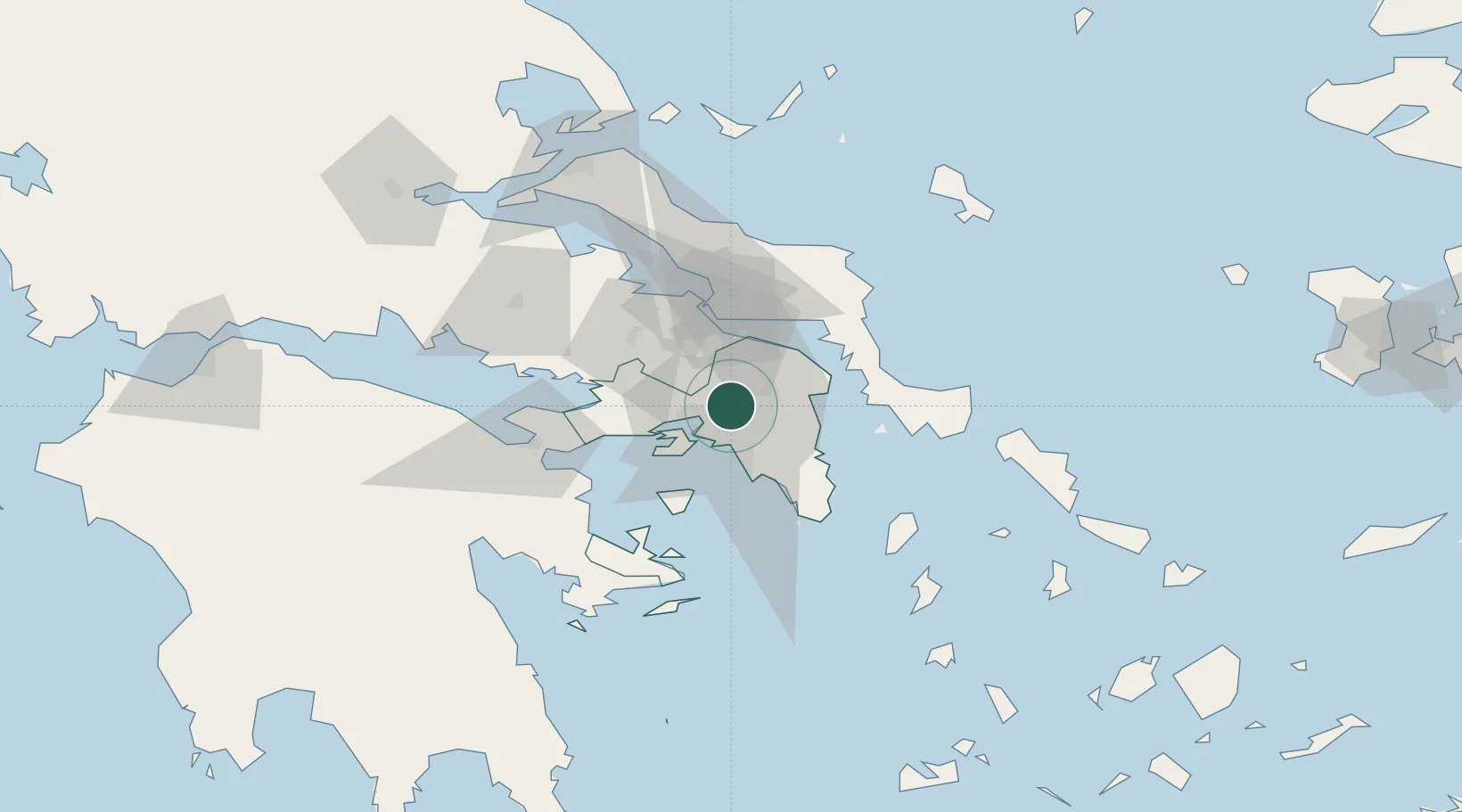
Nearby Logistics Neighbours

Cities
  1. 1Akharnai2 km
  2. 2Acharnes3 km
  3. 3Akharnaí3 km
  4. 4Acharnae Akharna3 km
  5. 5Néa Liósia6 km
Nearest neighbours — logibook spatial index (haversine) over the source coordinates
Ports
  1. 1Piraievs17 km
  2. 2Megara Oil Terminal29 km
  3. 3Ormos Aliveriou45 km
  4. 4Lavrio53 km
  5. 5Kymassi86 km
Nearest neighbours — logibook spatial index (haversine) over the source coordinates
Airports
  1. 1Elefsis Air Base13 km
  2. 2Athens Eleftherios Venizelos International Airport27 km
  3. 3Tanagra Air Base31 km
  4. 4Skiros Airport120 km
  5. 5Skiathos Island National Airport123 km
Nearest neighbours — logibook spatial index (haversine) over the source coordinates
Trade Zones
  1. 1Free Zone of Piraeus17 km
  2. 2Free Zone of Platigiali (Astakos Etoloakarnanias)231 km
  3. 3Free Zone of Thessaloniki292 km
  4. 4TIDZ Gevgelija361 km
  5. 5Përmet Freezone375 km
Nearest neighbours — logibook spatial index (haversine) over the source coordinates
DatabookThe Record of Consolidated Knowledge
Greece beyond logistics?
Browse databook

All Sources

LocationsUN/LOCODE
UN/LOCODE — free
LocationsGeoNames
CC BY 4.0
Portsthe NGA World Port Index
Public domain (US gov)
AirportsOurAirports
Public domain
Trade Zonesthe World Bank SEZ database
CC BY 4.0
Trade ZonesOpen Zone Map
CC BY
← Greece locations