UN/LOCODE hub · Greece
GRANG

Anargyroi

38.0333°, 23.7167°
452
Population
1
Transport functions

Transport Functions

Multimodal
UN/LOCODE

Hub Profile

Place type
Populated place
GeoNames
Region
West Macedonia
GeoNames
Population
452
GeoNames
Time zone
Europe/Athens
GeoNames
Elevation
616 m
GeoNames

Location

Location of GRANG
Natural Earth 10m (public domain) · West Macedonia · GRANG · 38.03, 23.72GoogleOSMYandex

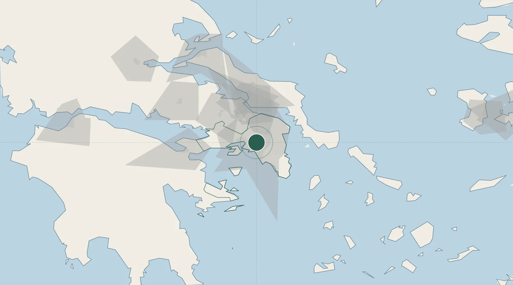
Nearby Logistics Neighbours

Cities
  1. 1Néa Liósia2 km
  2. 2Akharnai4 km
  3. 3Acharnes6 km
  4. 4Akharnaí6 km
  5. 5Acharnae Akharna6 km
Nearest neighbours — logibook spatial index (haversine) over the source coordinates
Ports
  1. 1Piraievs13 km
  2. 2Megara Oil Terminal29 km
  3. 3Lavrio48 km
  4. 4Ormos Aliveriou49 km
  5. 5Gavrio91 km
Nearest neighbours — logibook spatial index (haversine) over the source coordinates
Airports
  1. 1Elefsis Air Base15 km
  2. 2Athens Eleftherios Venizelos International Airport23 km
  3. 3Tanagra Air Base37 km
  4. 4Skiros Airport124 km
  5. 5Syros Airport128 km
Nearest neighbours — logibook spatial index (haversine) over the source coordinates
Trade Zones
  1. 1Free Zone of Piraeus13 km
  2. 2Free Zone of Platigiali (Astakos Etoloakarnanias)234 km
  3. 3Free Zone of Thessaloniki297 km
  4. 4TIDZ Gevgelija367 km
  5. 5Përmet Freezone380 km
Nearest neighbours — logibook spatial index (haversine) over the source coordinates
DatabookThe Record of Consolidated Knowledge
Greece beyond logistics?
Browse databook

All Sources

LocationsUN/LOCODE
UN/LOCODE — free
LocationsGeoNames
CC BY 4.0
Portsthe NGA World Port Index
Public domain (US gov)
AirportsOurAirports
Public domain
Trade Zonesthe World Bank SEZ database
CC BY 4.0
Trade ZonesOpen Zone Map
CC BY
← Greece locations