Transport Functions
Port
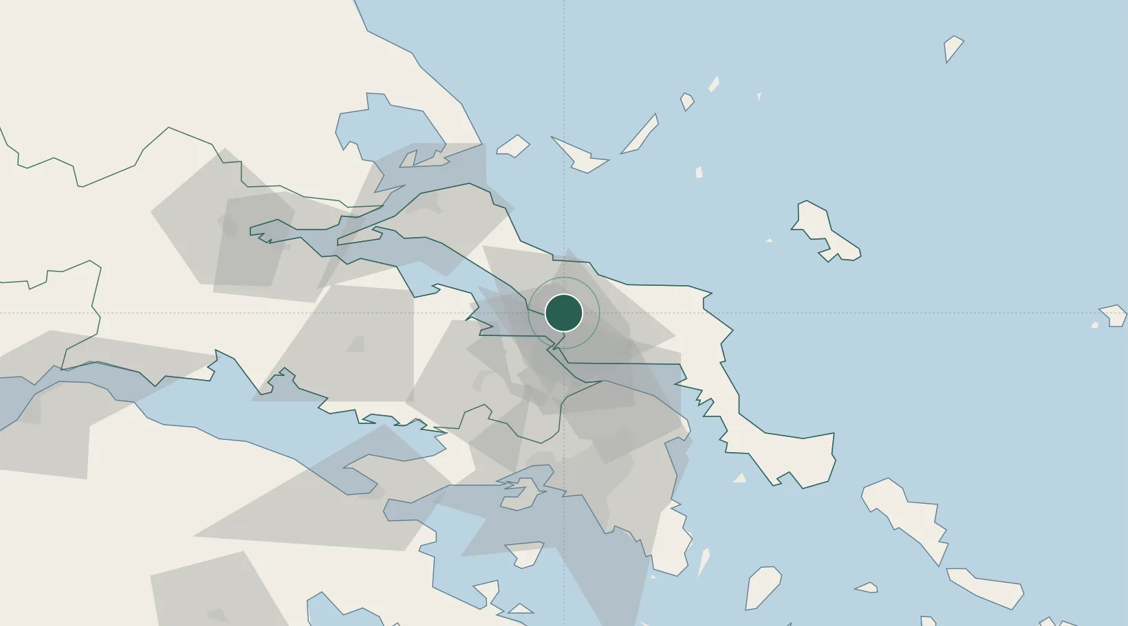
Location
Nearby Logistics Neighbours
Cities
- 1Vrisákia3 km
- 2Politiká7 km
- 3Néa Artáki7 km
- 4Chalkida14 km
- 5Lefkandi19 km
Ports
- 1Kymassi31 km
- 2Ormos Aliveriou43 km
- 3Megara Oil Terminal72 km
- 4Piraievs72 km
- 5Achladi79 km
Airports
Trade Zones
- 1Free Zone of Piraeus71 km
- 2Free Zone of Platigiali (Astakos Etoloakarnanias)221 km
- 3Free Zone of Thessaloniki236 km
- 4TIDZ Gevgelija306 km
- 5TIDZ Strumica322 km
DatabookThe Record of Consolidated Knowledge
Greece beyond logistics?