Transport Functions
Rail
Road
Hub Profile
Place type
Populated place
Region
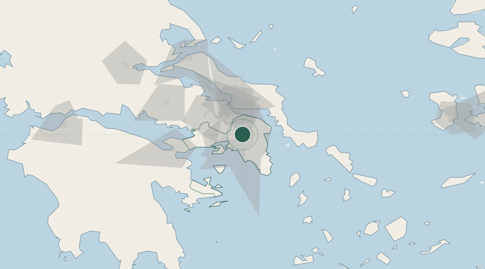
Attica
Population
6,200
Time zone
Europe/Athens
Elevation
370 m
Location
Nearby Logistics Neighbours
Cities
- 1Acharnes4 km
- 2Akharnaí4 km
- 3Acharnae Akharna4 km
- 4Ano Liosia6 km
- 5Akharnai7 km
Ports
- 1Piraievs22 km
- 2Megara Oil Terminal35 km
- 3Ormos Aliveriou40 km
- 4Lavrio54 km
- 5Kymassi83 km
Airports
- 1Elefsis Air Base18 km
- 2Athens Eleftherios Venizelos International Airport26 km
- 3Tanagra Air Base30 km
- 4Skiros Airport114 km
- 5Skiathos Island National Airport120 km
Trade Zones
- 1Free Zone of Piraeus23 km
- 2Free Zone of Platigiali (Astakos Etoloakarnanias)235 km
- 3Free Zone of Thessaloniki289 km
- 4TIDZ Gevgelija359 km
- 5TIDZ Strumica375 km
DatabookThe Record of Consolidated Knowledge
Greece beyond logistics?