Transport Functions
Multimodal
Hub Profile
Place type
Populated place
Region
England
Time zone
Europe/London
Elevation
15 m
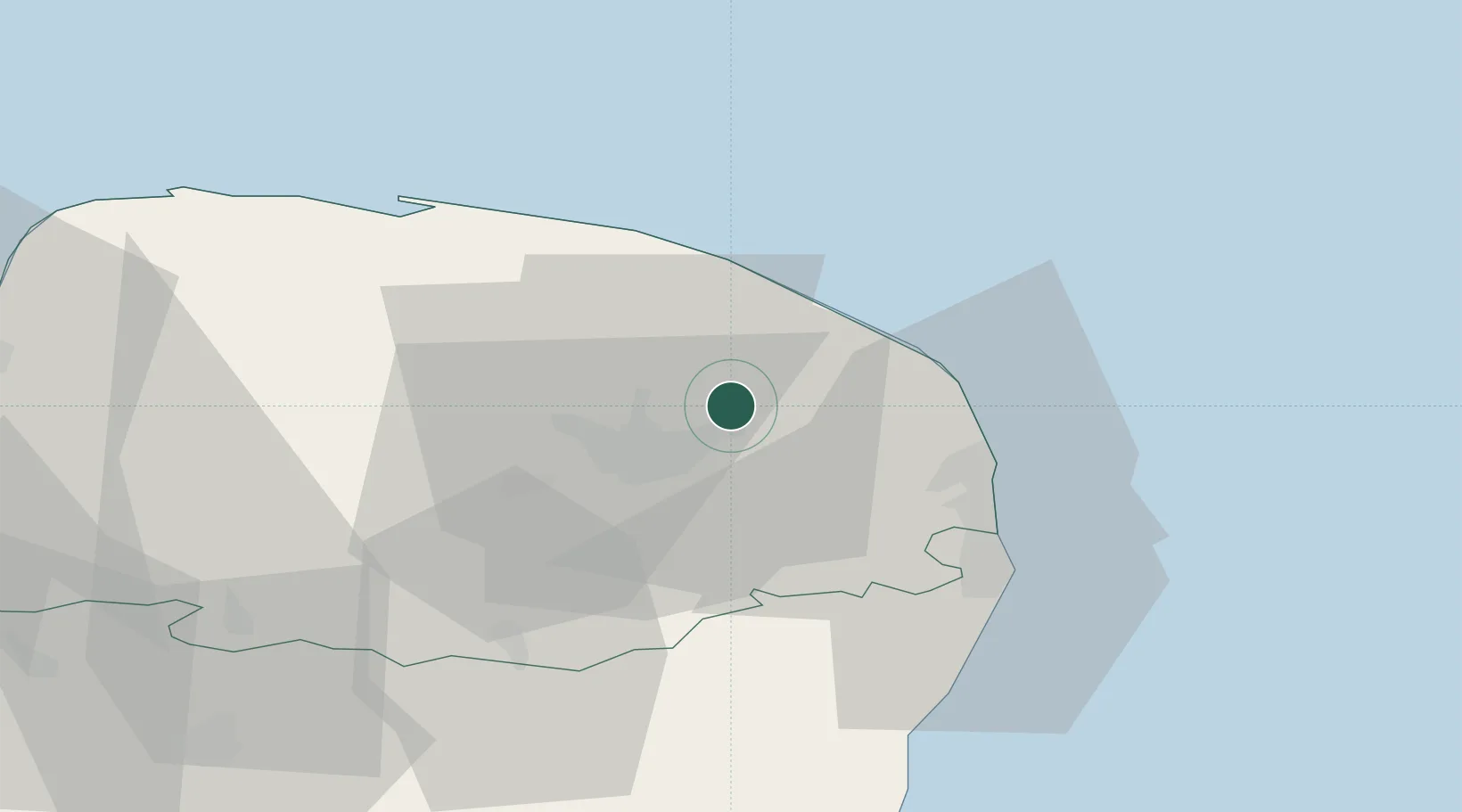
Location
Nearby Logistics Neighbours
Cities
- 1Rackheath3 km
- 2Tunstead4 km
- 3Acle13 km
- 4Cantley15 km
- 5Fressingfield17 km
Ports
- 1Great Yarmouth24 km
- 2Lowestoft34 km
- 3King's Lynn68 km
- 4Ipswich74 km
- 5Felixstowe84 km
Airports
- 1Norwich Airport8 km
- 2RAF Marham58 km
- 3RAF Honington58 km
- 4RAF Lakenheath65 km
- 5Wattisham Airfield70 km
Trade Zones
DatabookThe Record of Consolidated Knowledge
United Kingdom beyond logistics?