Transport Functions
Rail
Road
Hub Profile
Place type
Populated place
Region
England
Population
504
Time zone
Europe/London
Elevation
5 m
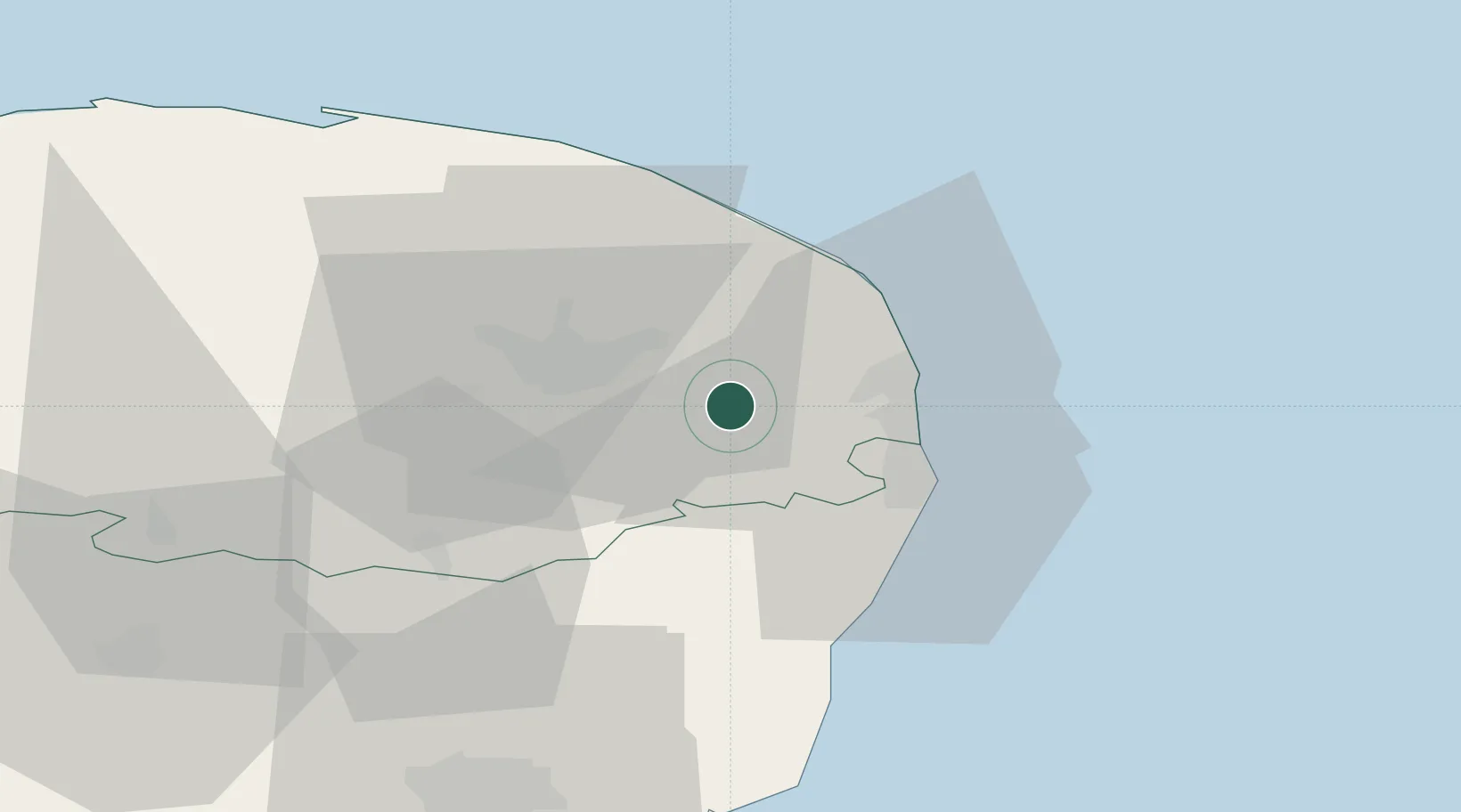
Location
Nearby Logistics Neighbours
Cities
- 1Fressingfield2 km
- 2Reedham6 km
- 3Acle7 km
- 4Rackheath14 km
- 5Wroxham15 km
Ports
- 1Great Yarmouth16 km
- 2Lowestoft20 km
- 3Ipswich64 km
- 4Felixstowe72 km
- 5Harwich72 km
Airports
- 1Norwich Airport18 km
- 2RAF Honington56 km
- 3Wattisham Airfield63 km
- 4RAF Marham65 km
- 5RAF Lakenheath66 km
Trade Zones
DatabookThe Record of Consolidated Knowledge
United Kingdom beyond logistics?