Transport Functions
Rail
Road
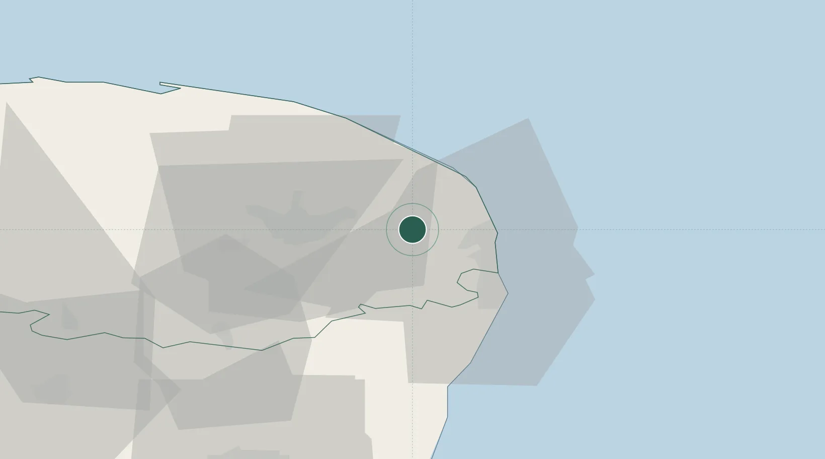
Hub Profile
Place type
Populated place
Region
England
Population
2,317
Time zone
Europe/London
Elevation
6 m
Location
Nearby Logistics Neighbours
Cities
- 1Cantley7 km
- 2Fressingfield8 km
- 3Reedham9 km
- 4Hemsby12 km
- 5Wroxham13 km
Ports
- 1Great Yarmouth13 km
- 2Lowestoft22 km
- 3Ipswich70 km
- 4Felixstowe78 km
- 5Harwich78 km
Airports
- 1Norwich Airport19 km
- 2RAF Honington62 km
- 3RAF Marham67 km
- 4Wattisham Airfield69 km
- 5RAF Lakenheath71 km
Trade Zones
DatabookThe Record of Consolidated Knowledge
United Kingdom beyond logistics?