UN/LOCODE hub · United Kingdom
GBEAH
Rackheath
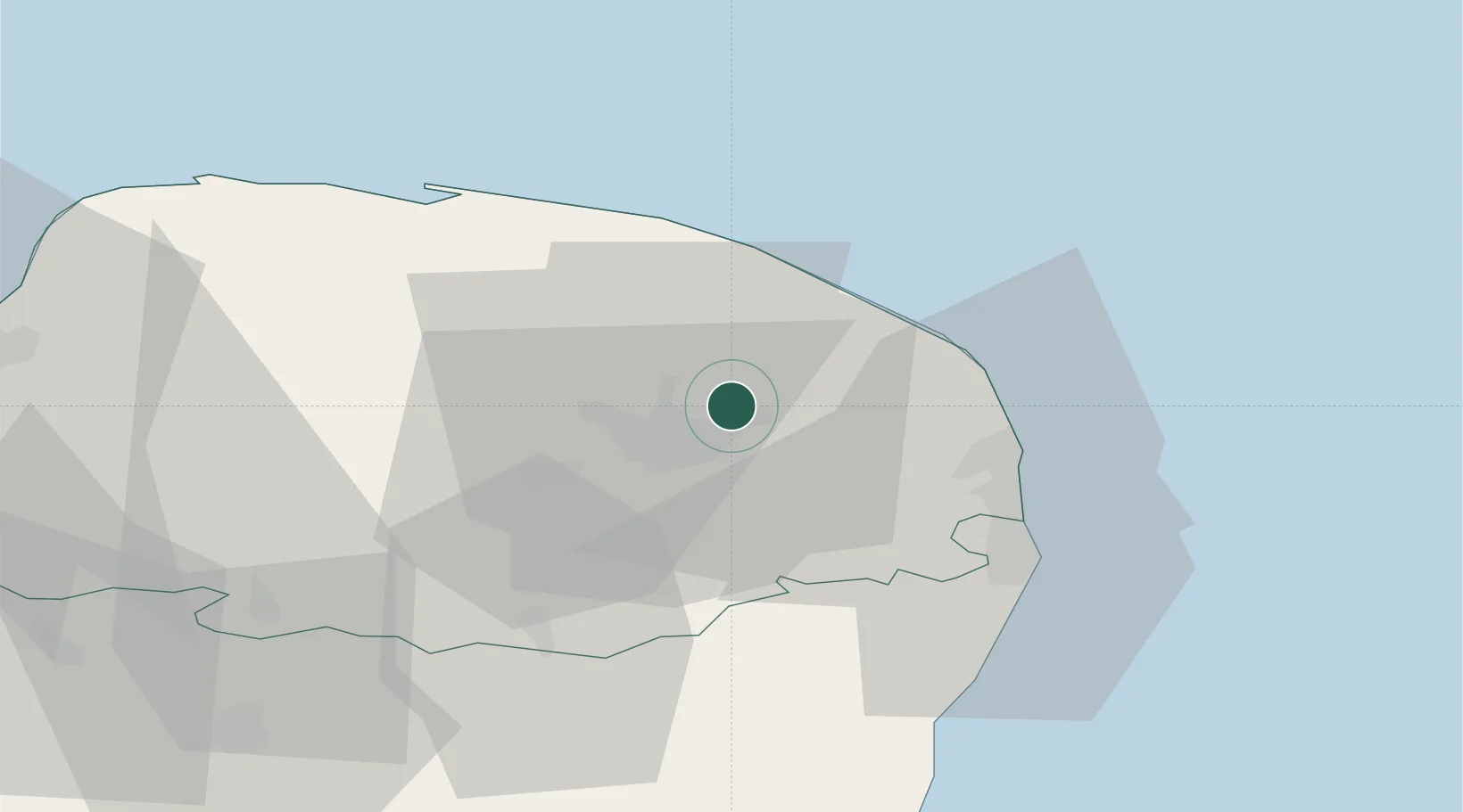
52.6833°, 1.3667°
1,628
Population
2
Transport functions
Transport Functions
Rail
Road
Hub Profile
Place type
Populated place
Region
England
Population
1,628
Time zone
Europe/London
Elevation
29 m
Location
Nearby Logistics Neighbours
Cities
- 1Wroxham3 km
- 2Tunstead7 km
- 3Acle14 km
- 4Cantley14 km
- 5Fressingfield17 km
Ports
- 1Great Yarmouth26 km
- 2Lowestoft34 km
- 3King's Lynn66 km
- 4Ipswich72 km
- 5Felixstowe82 km
Airports
- 1Norwich Airport6 km
- 2RAF Marham55 km
- 3RAF Honington55 km
- 4RAF Lakenheath62 km
- 5Wattisham Airfield68 km
Trade Zones
DatabookThe Record of Consolidated Knowledge
United Kingdom beyond logistics?