UN/LOCODE hub · United Kingdom
GBXFR
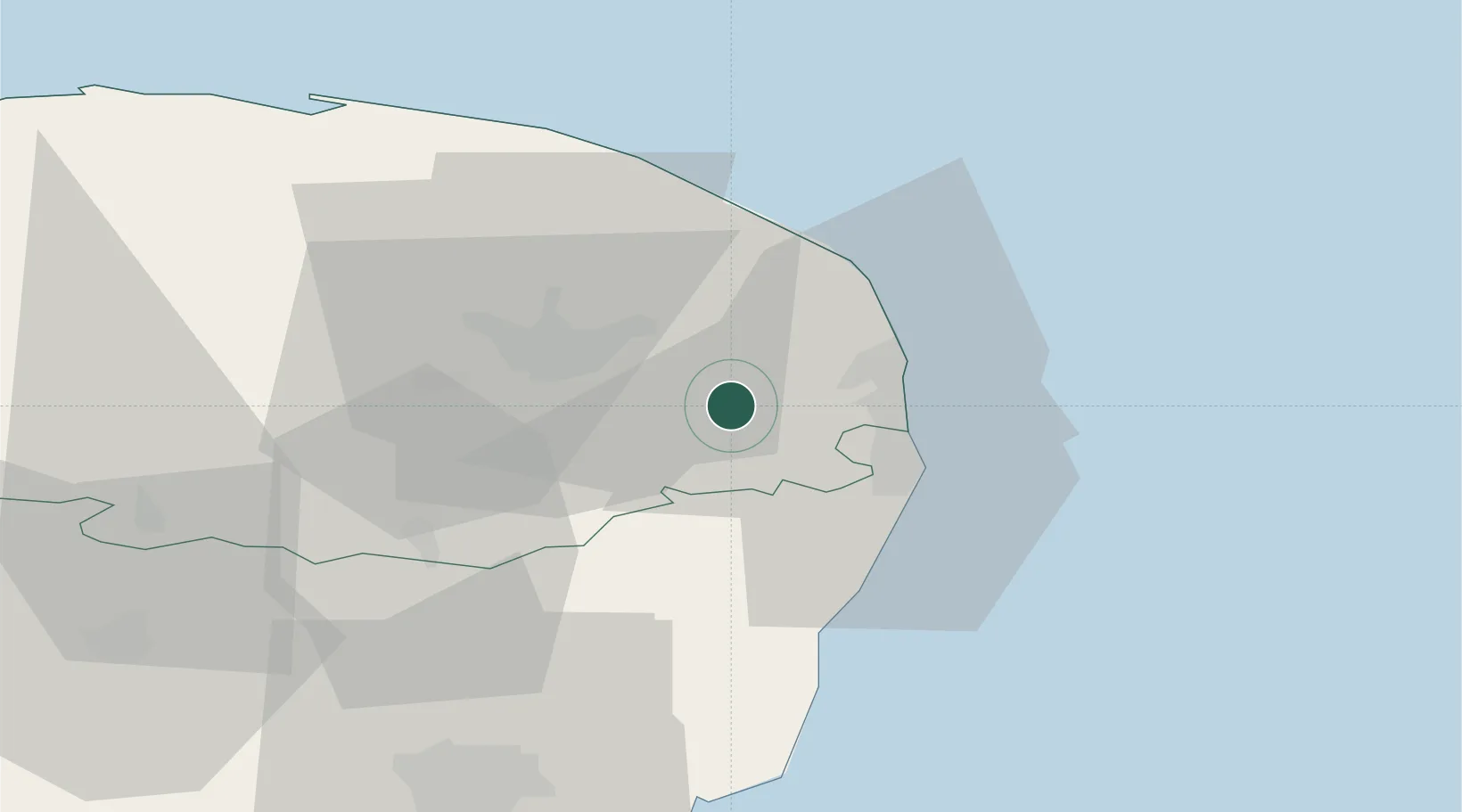
Fressingfield
52.5667°, 1.5167°
790
Population
1
Transport functions
Transport Functions
Multimodal
Hub Profile
Place type
Populated place
Region
England
Population
790
Time zone
Europe/London
Elevation
48 m
Location
Nearby Logistics Neighbours
Ports
- 1Great Yarmouth16 km
- 2Lowestoft18 km
- 3Ipswich62 km
- 4Felixstowe70 km
- 5Harwich70 km
Airports
- 1Norwich Airport20 km
- 2RAF Honington56 km
- 3Wattisham Airfield62 km
- 4RAF Marham66 km
- 5RAF Lakenheath67 km
Trade Zones
DatabookThe Record of Consolidated Knowledge
United Kingdom beyond logistics?