Transport Functions
Port
Rail
Road
Hub Profile
Region
NFK
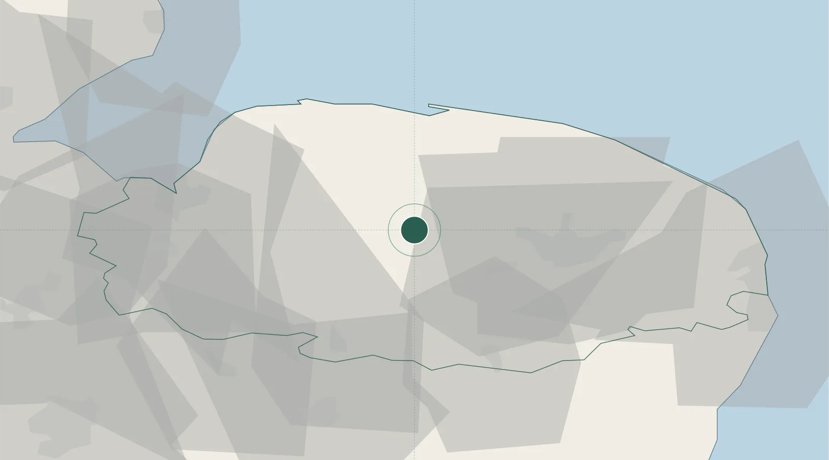
Location
Nearby Logistics Neighbours
Cities
- 1Lenwade13 km
- 2Great Massingham20 km
- 3Briston21 km
- 4Tottington21 km
- 5Gunthorpe21 km
Ports
- 1King's Lynn37 km
- 2Wisbech53 km
- 3Great Yarmouth55 km
- 4Lowestoft60 km
- 5Boston71 km
Airports
- 1Norwich Airport24 km
- 2RAF Marham26 km
- 3RAF Honington39 km
- 4RAF Lakenheath40 km
- 5RAF Mildenhall47 km
Trade Zones
DatabookThe Record of Consolidated Knowledge
United Kingdom beyond logistics?