Transport Functions
Road
Multimodal
Hub Profile
Place type
Populated place
Region
England
Time zone
Europe/London
Elevation
29 m
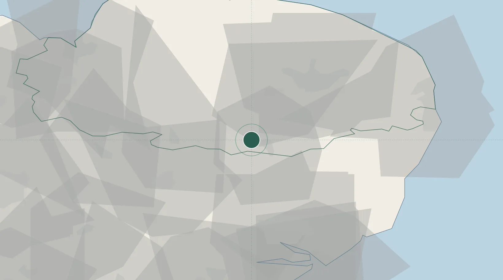
Location
Nearby Logistics Neighbours
Cities
- 1Stradbroke18 km
- 2Wetheringsett19 km
- 3Tottington20 km
- 4Elmswell24 km
- 5Ingham27 km
Ports
- 1Ipswich42 km
- 2Lowestoft48 km
- 3Great Yarmouth51 km
- 4Harwich54 km
- 5Felixstowe55 km
Airports
- 1RAF Honington21 km
- 2Wattisham Airfield33 km
- 3Norwich Airport33 km
- 4RAF Lakenheath33 km
- 5RAF Mildenhall39 km
Trade Zones
DatabookThe Record of Consolidated Knowledge
United Kingdom beyond logistics?