UN/LOCODE hub · United Kingdom
GBBIN
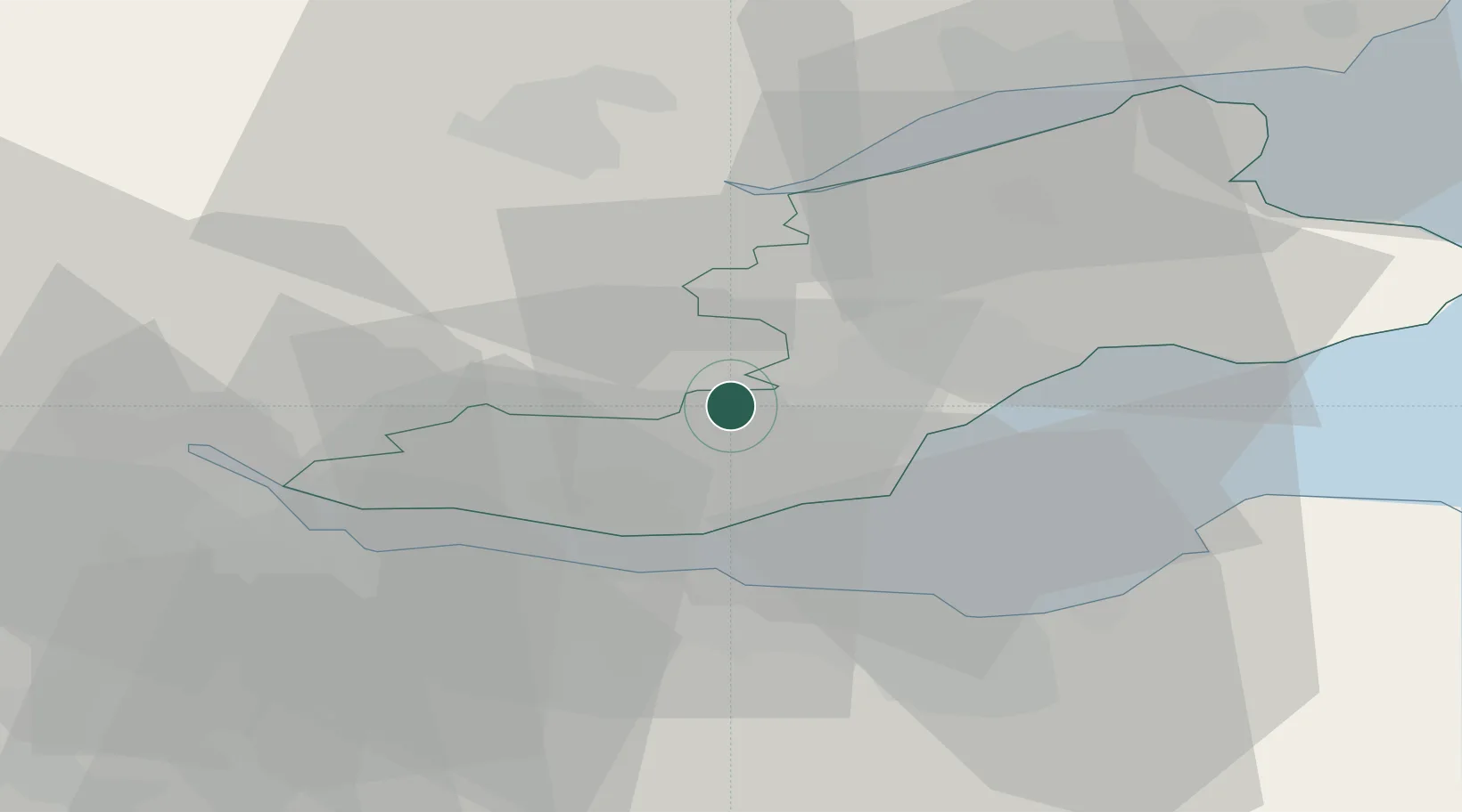
Ballingry
56.1500°, -3.3167°
5,940
Population
2
Transport functions
Transport Functions
Road
Multimodal
Hub Profile
Place type
Populated place
Region
Scotland
Population
5,940
Time zone
Europe/London
Elevation
122 m
Location
Nearby Logistics Neighbours
Cities
- 1Scotlandwell6 km
- 2Mossmoran7 km
- 3Halbeath11 km
- 4Burntisland11 km
- 5Kirkcaldy11 km
Ports
- 1Burntisland12 km
- 2Braefoot Bay Terminal13 km
- 3Rosyth17 km
- 4Hound Point Terminal17 km
- 5Granton20 km
Airports
- 1Edinburgh Airport23 km
- 2Leuchars Station Airfield37 km
- 3Dundee Airport38 km
- 4Glasgow Airport76 km
- 5Glasgow Prestwick Airport107 km
Trade Zones
DatabookThe Record of Consolidated Knowledge
United Kingdom beyond logistics?