Transport Functions
Multimodal
Hub Profile
Place type
Populated place
Region
England
Time zone
Europe/London
Elevation
64 m
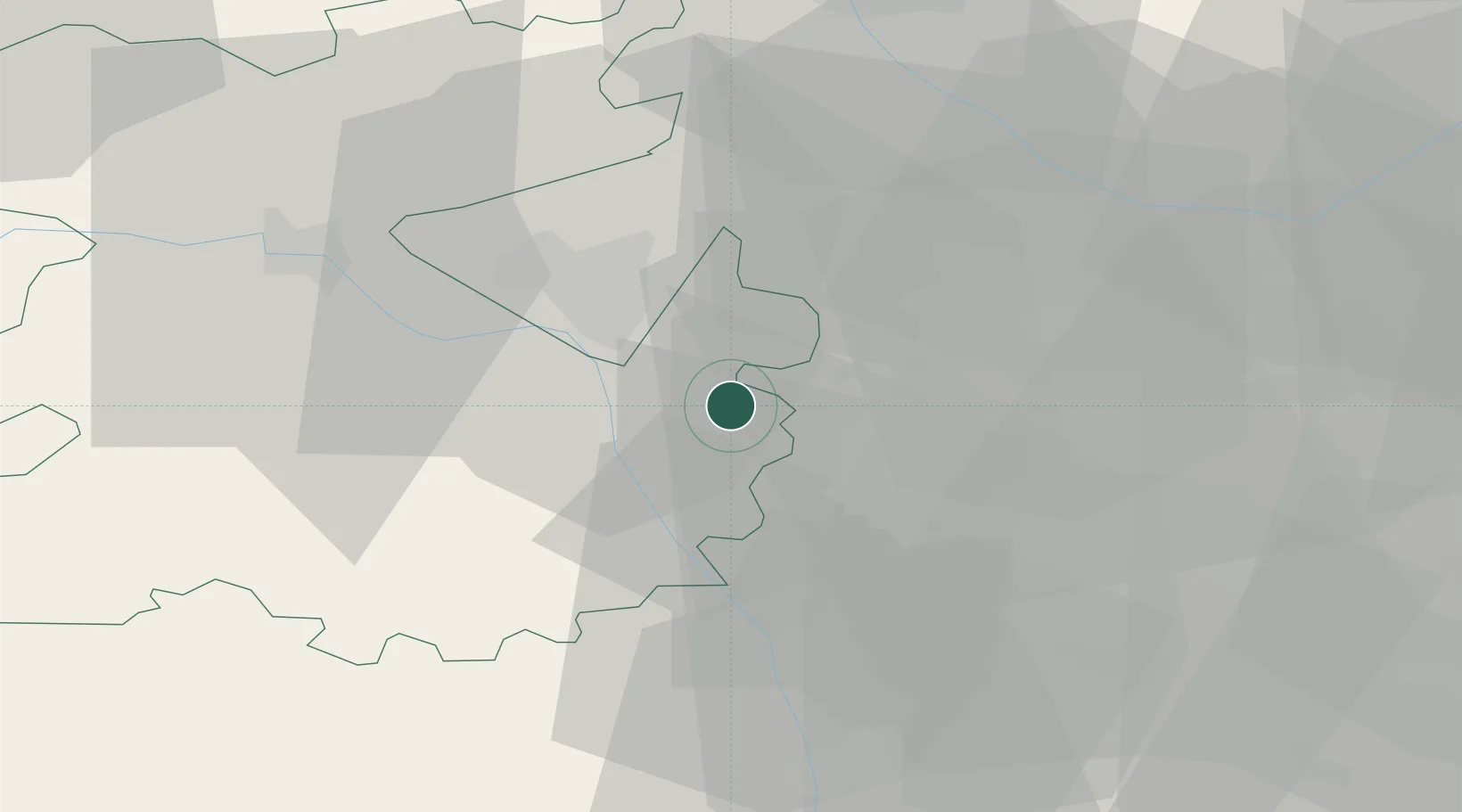
Location
Nearby Logistics Neighbours
Ports
- 1Sharpness95 km
- 2Garlston96 km
- 3Manchester102 km
- 4Mostyn105 km
- 5Liverpool105 km
Airports
- 1RAF Cosford8 km
- 2RAF Shawbury35 km
- 3Birmingham Airport41 km
- 4Coventry Airport61 km
- 5East Midlands Airport73 km
Trade Zones
DatabookThe Record of Consolidated Knowledge
United Kingdom beyond logistics?