Transport Functions
Port
Hub Profile
Place type
Populated place
Region
England
Population
6,240
Time zone
Europe/London
Elevation
91 m
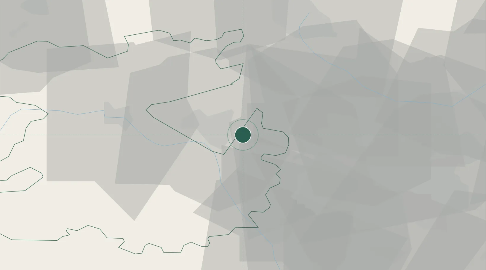
Location
Nearby Logistics Neighbours
Cities
- 1Stanlow10 km
- 2Hilton12 km
- 3Belgrave14 km
- 4Crudgington15 km
- 5Dunston Heath18 km
Ports
- 1Garlston84 km
- 2Manchester91 km
- 3Liverpool94 km
- 4Mostyn94 km
- 5Sharpness106 km
Airports
- 1RAF Cosford5 km
- 2RAF Shawbury25 km
- 3Birmingham Airport48 km
- 4Coventry Airport69 km
- 5Hawarden Airport70 km
Trade Zones
DatabookThe Record of Consolidated Knowledge
United Kingdom beyond logistics?