Transport Functions
Rail
Road
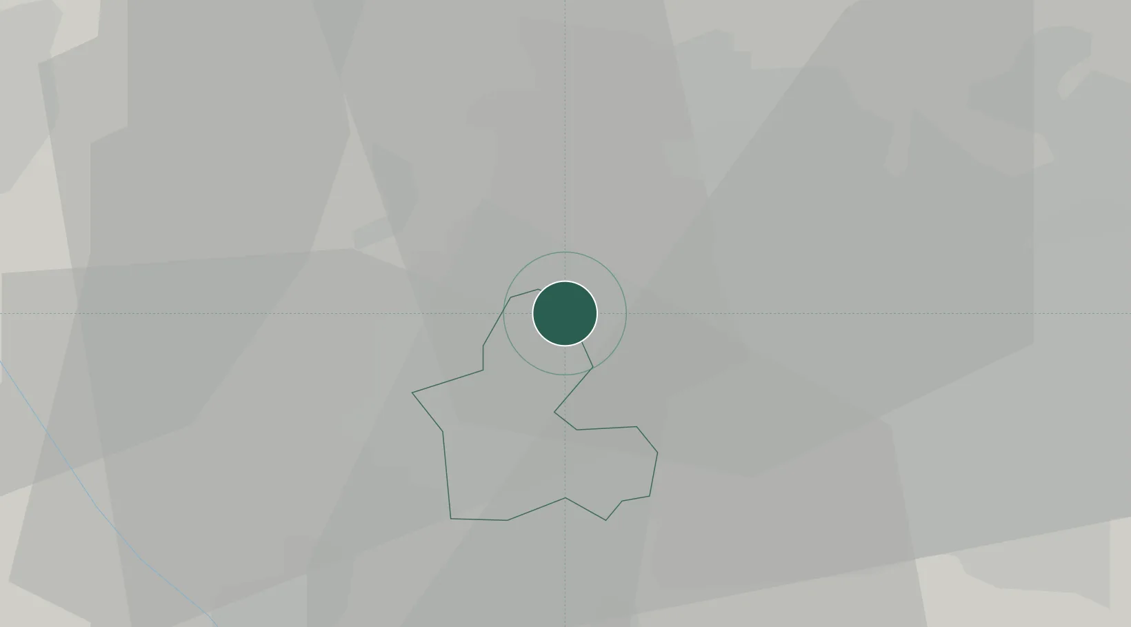
Hub Profile
Place type
Populated place
Region
England
Time zone
Europe/London
Elevation
161 m
Location
Nearby Logistics Neighbours
Cities
- 1Tividale4 km
- 2Bradenham6 km
- 3Rowley Regis/West Bromwich9 km
- 4Blackheath10 km
- 5Handsworth12 km
Ports
- 1Sharpness97 km
- 2Garlston104 km
- 3Manchester105 km
- 4Liverpool114 km
- 5Mostyn116 km
Airports
- 1RAF Cosford18 km
- 2Birmingham Airport25 km
- 3Coventry Airport46 km
- 4RAF Shawbury48 km
- 5East Midlands Airport60 km
Trade Zones
DatabookThe Record of Consolidated Knowledge
United Kingdom beyond logistics?