Transport Functions
Port
Hub Profile
Place type
Urban district
Region
England
Time zone
Europe/London
Elevation
75 m
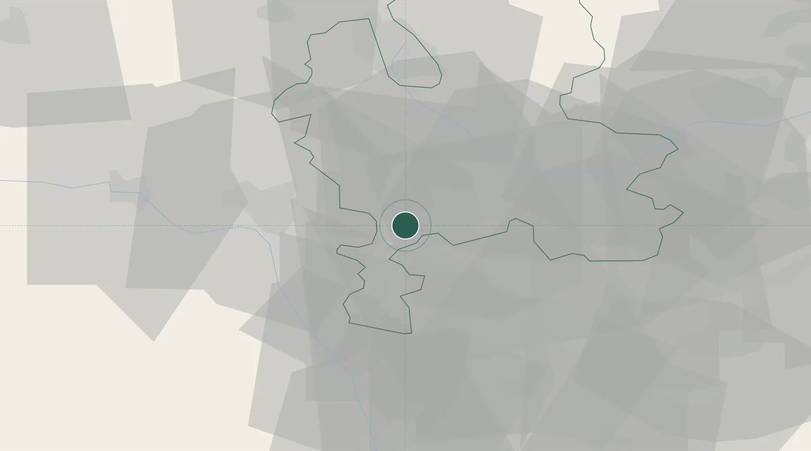
Location
Nearby Logistics Neighbours
Cities
- 1Penkridge10 km
- 2Dunston Heath11 km
- 3Stanlow12 km
- 4Coseley13 km
- 5Norton Canes14 km
Ports
- 1Garlston92 km
- 2Manchester93 km
- 3Liverpool102 km
- 4Mostyn105 km
- 5Sharpness106 km
Airports
- 1RAF Cosford9 km
- 2Birmingham Airport36 km
- 3RAF Shawbury38 km
- 4Coventry Airport56 km
- 5East Midlands Airport60 km
Trade Zones
DatabookThe Record of Consolidated Knowledge
United Kingdom beyond logistics?