Transport Functions
Port
Road
Hub Profile
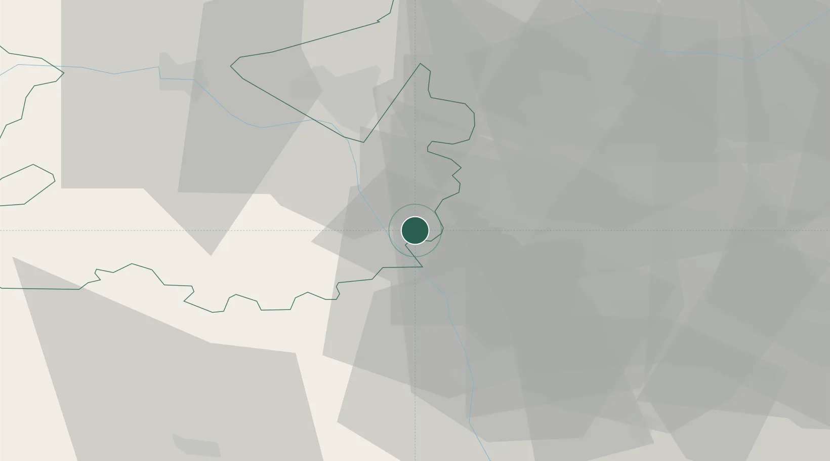
Place type
Populated place
Region
England
Population
1,578
Time zone
Europe/London
Elevation
115 m
Location
Nearby Logistics Neighbours
Cities
- 1Grimley7 km
- 2Hilton13 km
- 3Cleobury Mortimer14 km
- 4Stanlow15 km
- 5Tividale20 km
Airports
- 1RAF Cosford21 km
- 2Birmingham Airport40 km
- 3RAF Shawbury45 km
- 4Coventry Airport59 km
- 5Gloucestershire Airport63 km
Trade Zones
DatabookThe Record of Consolidated Knowledge
United Kingdom beyond logistics?