Transport Functions
Port
Hub Profile
Place type
Populated place
Region
England
Time zone
Europe/London
Elevation
71 m
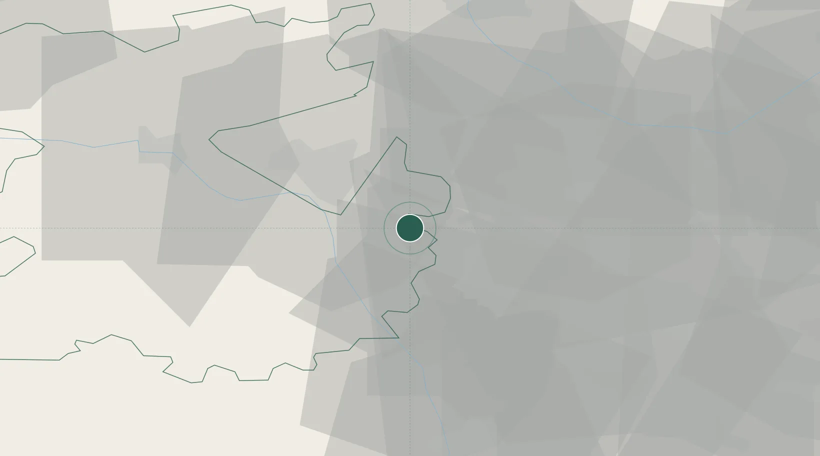
Location
Nearby Logistics Neighbours
Ports
- 1Garlston94 km
- 2Sharpness97 km
- 3Manchester100 km
- 4Liverpool104 km
- 5Mostyn104 km
Airports
- 1RAF Cosford6 km
- 2RAF Shawbury34 km
- 3Birmingham Airport40 km
- 4Coventry Airport60 km
- 5East Midlands Airport71 km
Trade Zones
DatabookThe Record of Consolidated Knowledge
United Kingdom beyond logistics?