Transport Functions
Port
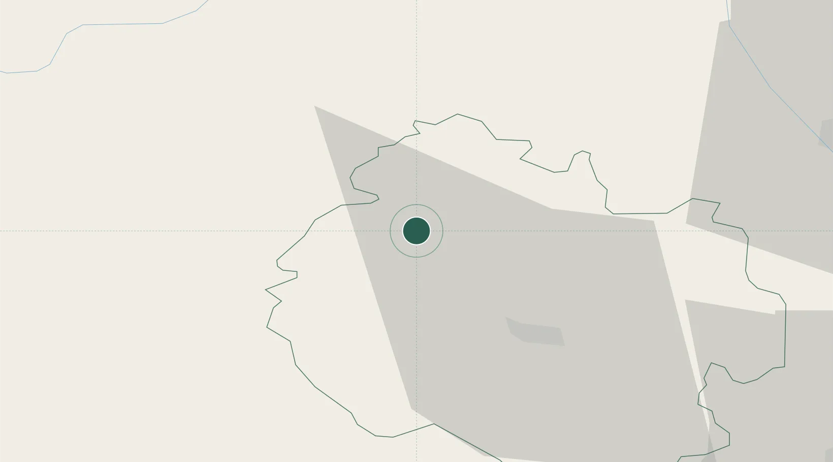
Hub Profile
Place type
Populated place
Region
England
Population
489
Time zone
Europe/London
Elevation
110 m
Location
Nearby Logistics Neighbours
Cities
- 1Shobdon4 km
- 2Stockton14 km
- 3Whitney17 km
- 4Bedstone17 km
- 5Moreton on Lugg18 km
Airports
- 1Gloucestershire Airport62 km
- 2RAF Cosford62 km
- 3RAF Shawbury67 km
- 4Birmingham Airport83 km
- 5Bristol Airport94 km
Trade Zones
DatabookThe Record of Consolidated Knowledge
United Kingdom beyond logistics?