Transport Functions
Port
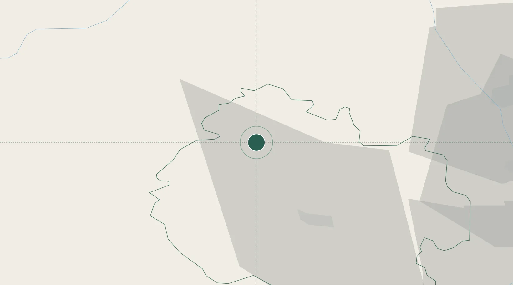
Hub Profile
Place type
Populated place
Region
England
Population
656
Time zone
Europe/London
Elevation
138 m
Location
Nearby Logistics Neighbours
Cities
- 1Pembridge4 km
- 2Stockton11 km
- 3Bedstone14 km
- 4Clunbury19 km
- 5Little Brampton19 km
Airports
- 1RAF Cosford58 km
- 2Gloucestershire Airport62 km
- 3RAF Shawbury62 km
- 4Birmingham Airport79 km
- 5Coventry Airport95 km
Trade Zones
DatabookThe Record of Consolidated Knowledge
United Kingdom beyond logistics?