UN/LOCODE hub · United Kingdom
GBXHR
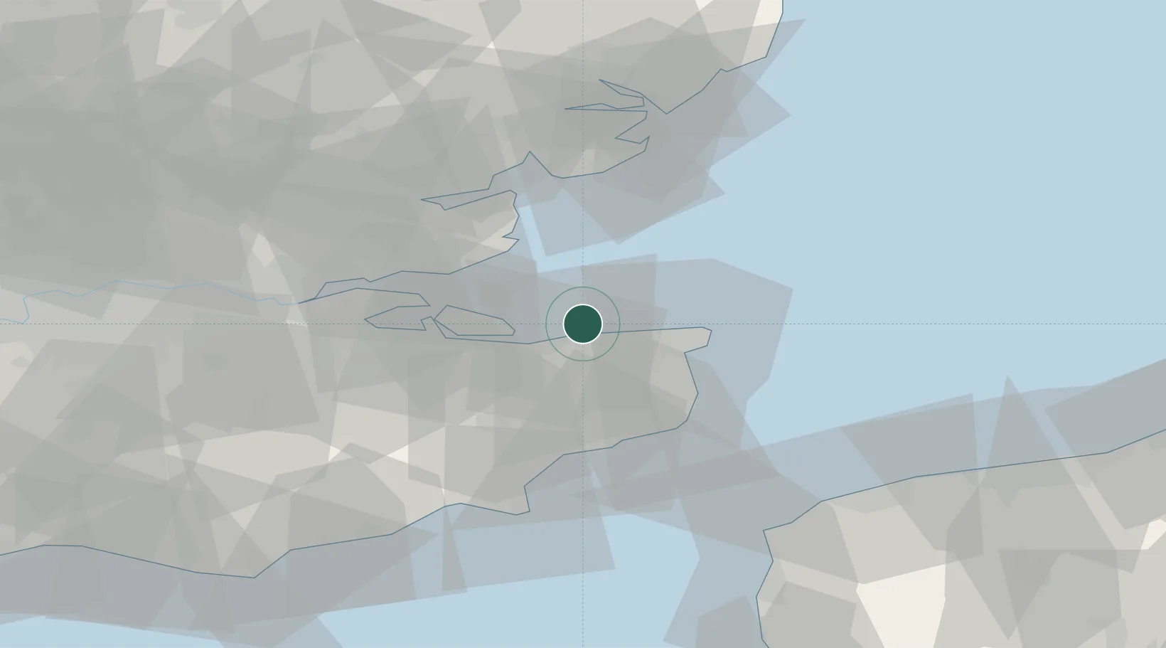
Harrietsham
51.4000°, 1.1167°
1,442
Population
1
Transport functions
Transport Functions
Multimodal
Hub Profile
Place type
Populated place
Region
England
Population
1,442
Time zone
Europe/London
Elevation
85 m
Location
Nearby Logistics Neighbours
Cities
- 1Faversham12 km
- 2Preston13 km
- 3Birchington13 km
- 4Littlebourne15 km
- 5Chartham Hatch16 km
Ports
- 1Whitstable7 km
- 2Ramsgate22 km
- 3Sheerness26 km
- 4Isle Of Grain29 km
- 5Thamesport29 km
Airports
- 1London Southend Airport35 km
- 2Lydd London Ashford Airport51 km
- 3London City Airport75 km
- 4London Biggin Hill Airport76 km
- 5Calais Marck Airport76 km
Trade Zones
DatabookThe Record of Consolidated Knowledge
United Kingdom beyond logistics?