UN/LOCODE hub · United Kingdom
GBFAV
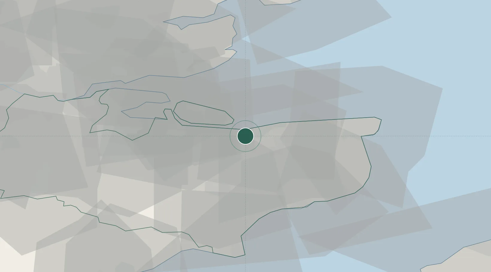
Faversham
51.3266°, 0.9814°
19,829
Population
1
Transport functions
Transport Functions
Port
Hub Profile
Place type
Populated place
Region
England
Population
19,829
Time zone
Europe/London
Elevation
11 m
Logistics facilities
1
Location
Nearby Logistics Neighbours
Cities
- 1Chartham Hatch7 km
- 2Eastchurch11 km
- 3Norton12 km
- 4Harrietsham12 km
- 5Isle of Sheppey14 km
Ports
- 1Whitstable6 km
- 2Sheerness21 km
- 3Isle Of Grain23 km
- 4Thamesport23 km
- 5Ramsgate30 km
Airports
- 1London Southend Airport34 km
- 2Lydd London Ashford Airport41 km
- 3London Biggin Hill Airport66 km
- 4London City Airport67 km
- 5Calais Marck Airport79 km
Trade Zones
DatabookThe Record of Consolidated Knowledge
United Kingdom beyond logistics?