Transport Functions
Rail
Road
Hub Profile
Place type
Populated place
Region
England
Time zone
Europe/London
Elevation
87 m
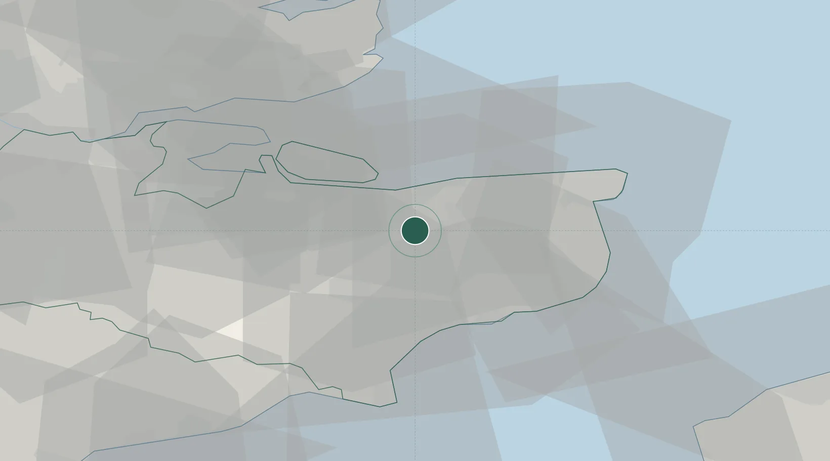
Location
Nearby Logistics Neighbours
Cities
- 1Faversham7 km
- 2Littlebourne10 km
- 3Wye11 km
- 4Aylesham13 km
- 5Preston14 km
Ports
- 1Whitstable11 km
- 2Folkestone Harbour24 km
- 3Sheerness28 km
- 4Dover Harbor28 km
- 5Isle Of Grain29 km
Airports
- 1Lydd London Ashford Airport35 km
- 2London Southend Airport41 km
- 3London Biggin Hill Airport69 km
- 4London City Airport72 km
- 5Calais Marck Airport74 km
Trade Zones
DatabookThe Record of Consolidated Knowledge
United Kingdom beyond logistics?