Channel & Berth Profile
Pilotage, Tugs & Services
Pilotage compulsoryYES
Pilotage availableYES
Tug assistanceYES
Potable waterYES
Diesel bunkersYES
MedicalYES
Garbage disposalYES
Facilities & Capabilities
Container—
Ro-Ro—
Liquid bulk—
Dry bulk—
Oil terminal—
Break bulk—
Dry dockNO
RepairsNO
BunkeringYES
Rail linkYES
Dangerous cargo—
ISPS security—
Harbour Specifications
Harbour size
Small
Harbour type
River (Natural)
Shelter
Fair
Water body
North Sea; North Atlantic Ocean
Tidal range
4 m
Pilotage
Yes
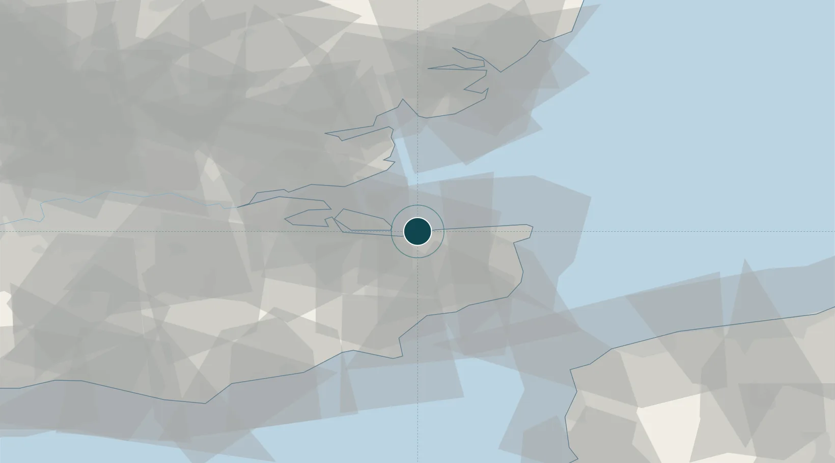
Location
Nearby Logistics Neighbours
Ports
- 1Sheerness22 km
- 2Isle Of Grain24 km
- 3Thamesport24 km
- 4Ramsgate27 km
- 5Folkestone Harbour34 km
Cities
- 1Faversham6 km
- 2Harrietsham7 km
- 3Chartham Hatch11 km
- 4Eastchurch12 km
- 5Littlebourne15 km
Airports
- 1London Southend Airport33 km
- 2Lydd London Ashford Airport46 km
- 3London City Airport70 km
- 4London Biggin Hill Airport70 km
- 5Calais Marck Airport78 km
Trade Zones
DatabookThe Record of Consolidated Knowledge
United Kingdom beyond logistics?