Seaport · United Kingdom
ThamesportGBTHP
51.4333°, 0.7000°
11.0 m
Channel depth
47.1
Port liner connectivity
Channel & Berth Profile
Pilotage, Tugs & Services
Pilotage compulsoryYES
Pilotage availableYES
Tug assistanceYES
Potable waterYES
Facilities & Capabilities
Container—
Ro-Ro—
Liquid bulk—
Dry bulk—
Oil terminal—
Break bulk—
Dry dock—
RepairsNO
BunkeringYES
Rail linkYES
Dangerous cargo—
ISPS security—
Harbour Specifications
Harbour size
Small
Harbour type
River (Natural)
Shelter
Good
Water body
North Sea; North Atlantic Ocean
Tidal range
6 m
Pilotage
Yes
Liner Connectivity
47.1
PLSCI
Port Liner Shipping Connectivity Index for Thamesport, as published by UNCTAD for the latest available quarter. Higher values indicate stronger scheduled liner-shipping integration.
Shown relative to the highest per-port PLSCI in the dataset (1,657.9).
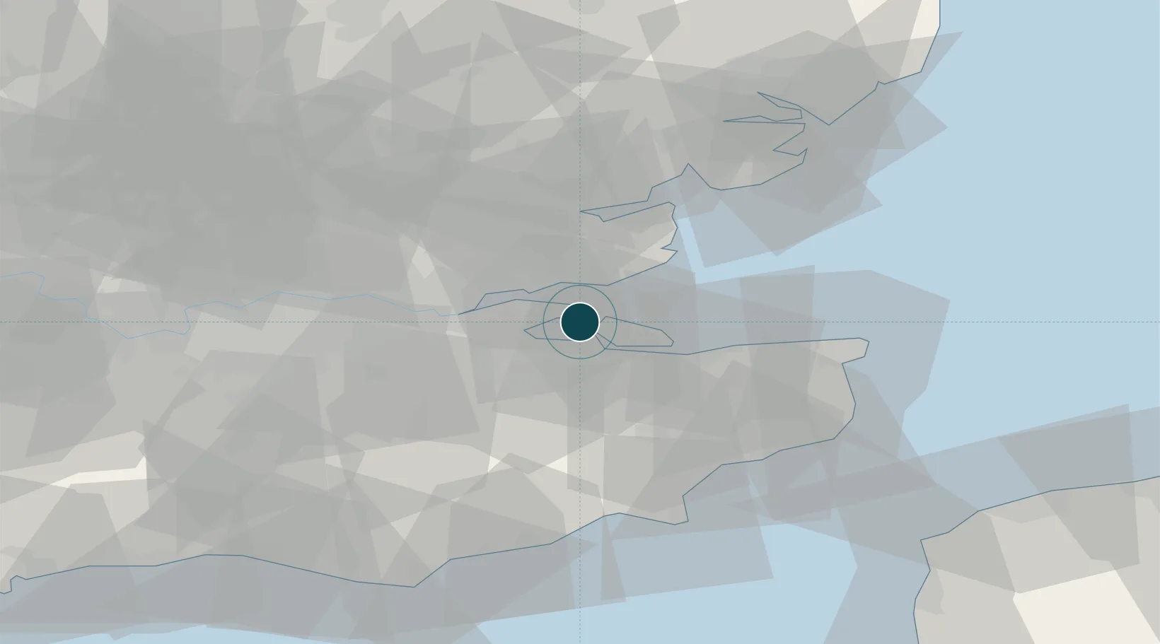
Location
Nearby Logistics Neighbours
Ports
- 1Isle Of Grain0 km
- 2Sheerness4 km
- 3Chatham Docks11 km
- 4Gravesend23 km
- 5Whitstable24 km
Cities
- 1Isle of Grain2 km
- 2London Thamesport7 km
- 3Rochester7 km
- 4North Woolwich8 km
- 5Isle of Sheppey9 km
Airports
- 1London Southend Airport15 km
- 2London City Airport45 km
- 3London Biggin Hill Airport48 km
- 4Lydd London Ashford Airport56 km
- 5London Stansted Airport60 km
Trade Zones
DatabookThe Record of Consolidated Knowledge
United Kingdom beyond logistics?